By Bobbie Surber
Some trips are booked on a whim. Others are slow-brewing obsessions. For me, Patagonia was both myth and magnet—pulling at me for over a decade until, finally, I said yes.
From the rhythm of Santiago to the wild edge of Torres del Paine, onward to the granite spires of Fitz Roy, and finally to the end of the world in Ushuaia – this journey began long before the first step.
Some dreams grow slowly, quiet things that live inside you for years, waiting for the right season. In the spring of 2025, I finally answered Patagonia, a land that had lived in my imagination for over a decade.
This five-part series is a love letter to that journey: the W Trek in Torres del Paine, the trail to Fitz Roy, epic glaciers, the emotional and raw beauty of our stay in a turn-of-the-century estancia, and the weeks of awe, grit, and the stillness in between. But before it began, it started here—with four grounding, soul-resetting days in Santiago.
Santiago: A Soft Landing in the South
We arrived on a warm March evening, a little weary from 24 hours of travel. It was our first time traveling in the southern hemisphere together, and the city welcomed us with a gentle kind of grandeur – equal parts aged colonial elegance, unique barrios, and the Andes rising in the distance like a promise.
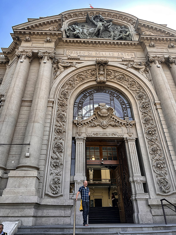
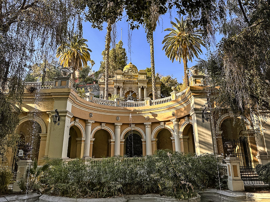
Santiago surprised me. I expected a pleasant stopover in a city I had yet to explore, but what we found was something deeper: a soulful pause. The city is a seamless blend of past and present – where the Metropolitan Cathedral anchors Plaza de Armas with 18th-century dignity, and just a few blocks away, the creative heartbeat of Barrio Lastarria pulses through cobbled streets lined with wine bars, coffee shops, pisco bars, bookstores, and tucked-away galleries.
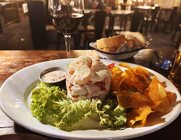
We gave ourselves four full days to settle in, slow down, and breathe before the hard miles ahead. We wandered without a plan through Santiago’s romantic, tree-lined streets, lingered over café con leche, and sampled seafood so fresh it felt like the ocean hadn’t even noticed it was missing yet.
We ate slowly, laughed easily, and always – always – had room for a round (or two, or three) of Pisco Sours. There’s something about their sharp, citrusy kick and frothy top that made us pause mid-conversation just to savor. We debated in earnest the merits of Chilean vs. Argentine piscos – aged in sherry flasks vs. clear and youthful expressions. They became a little ritual we both looked forward to at the end of each day.
At night, Barrio Lastarria – our temporary home – transformed. Crowds gathered in the streets as fire dancers performed to the rhythm of drums, laughter, and clapping hands. It felt like a celebration – not just of the city, but of being alive, present, and open to whatever might come next.
One golden afternoon, after a locals’ lunch from the nearby green market, we climbed Cerro Santa Lucía, the small hill where Santiago was founded. From the top, the view stretched beyond colonial rooftops and high-rise towers to the distant edge of the Andes. The wind caught my hair, and I stood quietly, thinking: It’s all really happening.
Santiago didn’t rush us. She cradled us in her warmth and rhythm – and without even trying, helped me remember why we came. She held the silence between what I was leaving behind and the transformative journey ahead.
Packing, Repacking, and Trusting the Journey
When we weren’t exploring the city, I was sprawled across the Airbnb floor, turning our room into a staging ground for our gear. Santiago’s quiet charm and youthful energy balanced the task at hand: preparing for the wilderness ahead.
I repacked my backpack more times than I want to admit – agonizing over every ounce.
Do I really need a second base layer?
Will this hold up to Patagonia’s infamous wind?
Are we actually ready for what’s coming?
Eventually, I stopped trying to pack perfectly and started packing with intention – and trust. The truth is nothing can fully prepare you for Patagonia’s rawness. At some point, you just have to take a leap of faith and go.
Flying South: The Landscape Begins to Shift
From Santiago, we boarded a flight to Puerto Natales, Chile – the gateway to Torres del Paine National Park. As the plane sliced its way southward, the landscape shifted – flat plains giving way to jagged peaks, glacier-fed rivers, and a coastline shaped by wind and time.
Puerto Natales welcomed us with its signature mix of remoteness and warmth. It’s a small, rugged town perched along the edge of Seno Última Esperanza – the Last Hope Sound, a stunning fjord that reaches inland from the Pacific Ocean. With snow-dusted peaks in the distance and steel-gray water stretching out before us, it felt like we had reached the last outpost before stepping off the map.
Colorful corrugated metal buildings lined the streets, most weatherworn but vibrant, standing defiant against Patagonia’s legendary wind. The town is modest but full of charm – local cafés, gear shops, friendly bakeries, and hostels nestled between homes and small restaurants. Everything feels like it belongs here – resilient, practical, but with soft edges.
After a 30-minute shuttle journey from the airport, we checked into our hotel for the next two nights. Our room sat just a short walk from the water’s edge, where fishing boats rocked gently in the inlet and clouds drifted low across the mountains beyond. The cold air felt cleaner, sharper – like the world had been distilled to its purest elements: rock, wind, water, sky.
That evening, Tom and I bundled up and walked along the costanera, the long waterfront promenade that hugs the fjord. The sky was moody and low with clouds, the wind tugging at our jackets. Seabirds dipped low over the water. In the distance, the silhouette of the mountains we came for was just barely visible, blurred and waiting.
We didn’t speak much. We didn’t need to. We were here. The adventure was about to start.
What’s Next: Hiking the W Trek
In Part 2, I’ll take you inside our six-day trek through Torres del Paine: past hanging glaciers, through lenga forests, clomping up to the famous Towers – a dream I’ve held so long come true – ending along the windswept shores of Lago Grey. It was a hike that tested us, shaped us, and left us completely in awe.
If you’ve ever dreamed of Patagonia – or are planning your own trek – drop a comment or question below. I’d love to hear from you.
Patagonia Prep Tips
If Patagonia is on your list – or already on your calendar – here are a few tips from our experience that might help you prepare, both practically and mentally:
-
-
- Ease into it with Santiago. Give yourself 2–3 days in Santiago to rest, adjust to the time zone, and mentally downshift. Patagonia can be physically demanding, so it’s worth arriving grounded. Plus, Santiago is a beautiful, underrated city full of soul, food, and architecture.
- Pack for all four seasons. The weather in Patagonia is famously unpredictable – you can experience sun, sleet, hail, and 50mph winds all in a single day. Prioritize a quality waterproof shell (jacket and pants), a layering system (base layers, fleece, insulated puffy), windproof gloves and a beanie, and trail runners or hiking boots that are well broken-in.
- Repack with intention, not perfection. You will overthink your gear (everyone does). Don’t aim for flawless – aim for flexibility. Trust that you’ll adapt on the trail. Patagonia will shake loose whatever you didn’t need anyway.
- Download maps and offline essentials. Many areas in Patagonia have little to no cell service. Download maps on Maps.me or Gaia GPS, as well as offline translations (Spanish), weather apps, and your itinerary. Print any confirmations – especially for Refugio’s or border crossings.
- Carry both cash and cards. While larger towns accept credit cards, many places in Patagonia – including transport, markets, and smaller cafés – prefer Chilean or Argentine pesos in cash. ATMs can be unreliable, so plan ahead.
- Train your body for multi-day hikes. If you’re doing the W Trek or Fitz Roy trails, it helps to prepare with at least a few local hikes beforehand, especially back-to-back days. Work on carrying a loaded pack for long distances.
- Prepare mentally for the elements. Patagonia rewards patience, grit, and presence. Some days are full of awe. Others are full of wind and sore feet. You may not always get postcard views – but the rawness is part of what makes it unforgettable.
- Early Reservations. For Torres Del Paine Park you will need to make early reservations for your camping or lodging. You cannot enter the park without showing your lodging confirmation.
-
Join our Facebook ExNotes page!
Never miss an ExNotes blog:
Help us keep the lights on:
Don’t forget: Visit our advertisers!

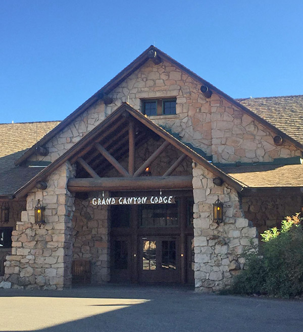 I remember reaching the lodge after completing the rim-to-rim hike, a long, steady climb from the Colorado River to the quiet heights of the North Rim. My legs were leaden, my pack dusted with red earth, and each step through the final miles of the North Kaibab Trail carried the weight of the canyon behind me. The landscape narrowed into cool shadows and silent stands of fir and aspen. As I crested the rim and glimpsed the lodge through a break in the trees, a quiet stillness settled in. I walked into the stone-and-timber building, ordered a hot meal, and sat near the window overlooking the vast expanse I’d just crossed. It wasn’t dramatic or loud, just a deeply satisfying end to a long journey.

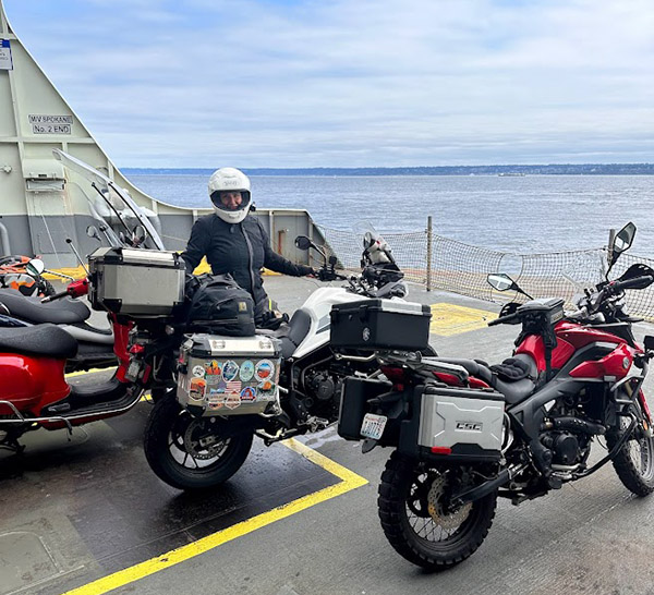
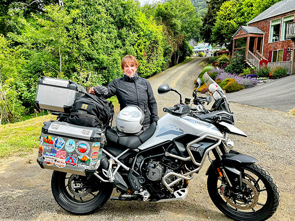
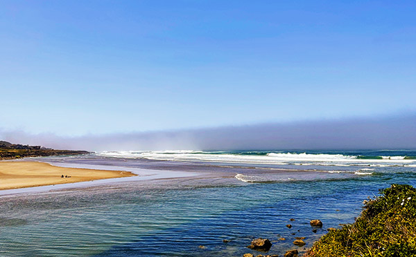
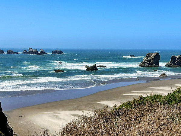
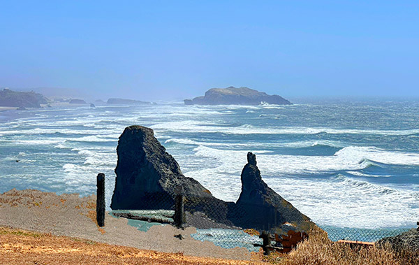
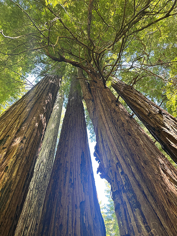
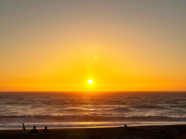
 Our long-awaited visit to the Lost Coast was the next thrilling chapter in our journey. Traveling through the towering giants of the redwoods and then navigating the winding, narrow roads flanked by quaint ranches and farms we finally arrived at our destination. Securing one of the thirteen coveted camp spots nestled against the picturesque sand dunes felt like a small victory. The beach, with its wild and rugged beauty, was a sight to behold. Our joy was multiplied when we invited an adventure rider from Croatia who had no place to camp to join us. We met two hikers planning to embark on the famous Lost Coast Trail the following day. With our newfound temporary traveling family, we combined our meager food supplies, beer, and the last of my Irish whiskey to set the mood for another unforgettable night of sharing grand tales beneath the starlit sky.