My Solo Motorcycle Journey from Sedona to Canada: Part II

By Bobbie Surber

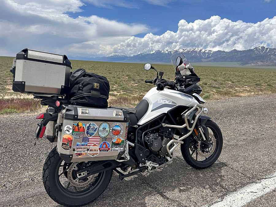
Welcome back to the next chapter of my solo motorcycle journey from my hometown of Sedona, Arizona, to the captivating landscapes of Canada. In Part One, I shared the exhilarating start of my adventure, from Sedona to the awe-inspiring beauty of the Grand Canyon and the mesmerizing Zion National Park. Now, as I continue northward on my trusty Triumph Tiger 900 GT Pro, lovingly named Tippi, join me in experiencing the next leg of this epic ride.
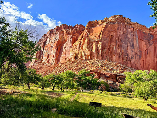
As I left the captivating beauty of Zion National Park behind, I couldn’t help but marvel at the magic of solo travel. The open road stretched out before me, promising new adventures and the opportunity to connect with the world in ways that only solo exploration allows. My heart swelled with anticipation as I headed north into Utah, a state known for its stunning natural landscapes.
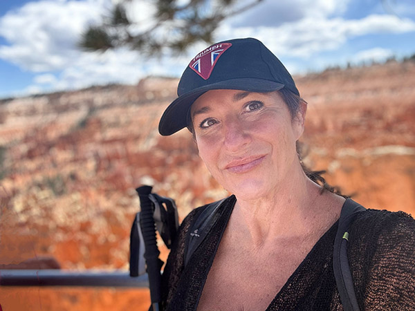
A Return to Bryce Canyon

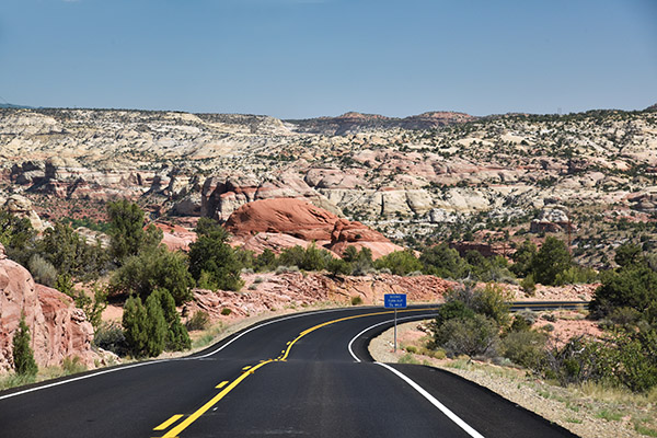
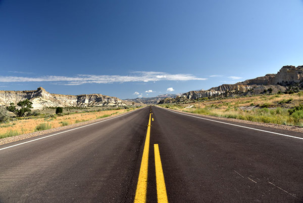
My next destination was my beloved Bryce Canyon National Park. The ride to Bryce Canyon was a scenic marvel in itself. Utah’s highway 89 to Route 12 made its way through crimson canyons, past towering rock formations, and into high-altitude forests. Every twist and turn of the road revealed a new panorama of breathtaking beauty.
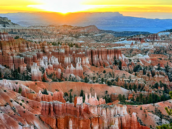
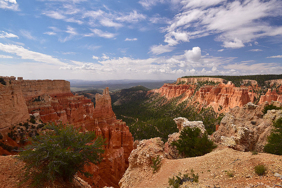
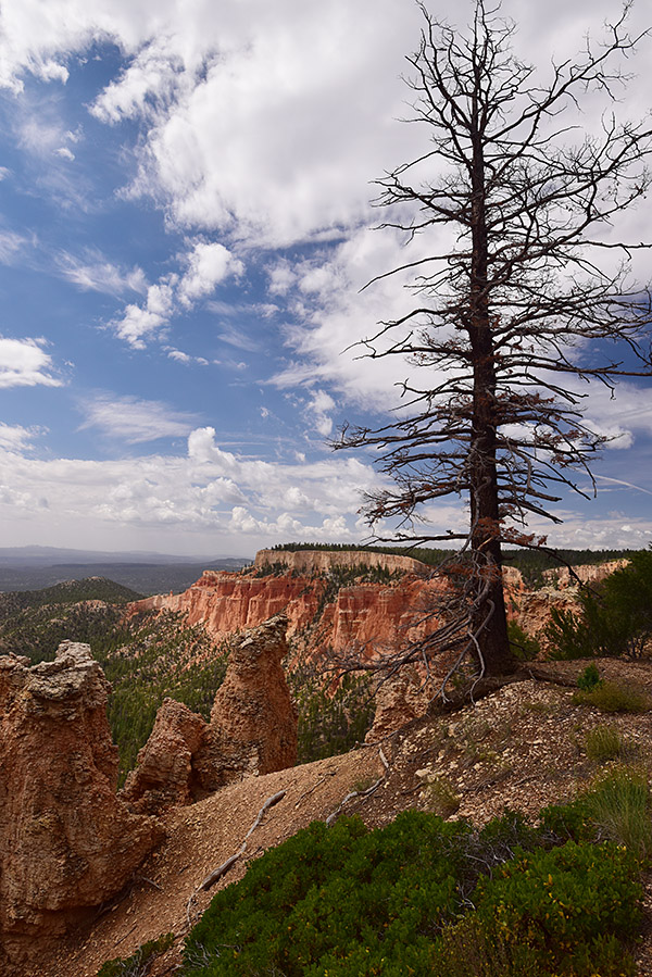
Arriving at Bryce Canyon, I was greeted by a surreal landscape of hoodoos—towering, otherworldly rock spires that seemed to defy gravity. I hiked once again the trails that wound through the park, taking in the views from vantage points like Sunrise Point and Inspiration Point. Wall Street trail was closed for repairs, but trusty old favorites satisfied my need for a day of hiking. My camp spot at Sunset Campground gave me the chance at an early morning sunrise the next morning. A predawn wakeup found me walking to the rims edge to watch the sun slowly rise below the horizon, the hoodoos took on a fiery glow, casting long, dramatic shadows that danced across the amphitheater-like terrain. Bryce Canyon’s mystical allure left an indelible mark on my soul, reminding me why I embarked on this journey in the first place. After a second night at Bryce, I was ready to tackle another epic day of riding Route 12 through Escalante to the sweetest underrated Capital Reef National Park.

Exploring Route 12 and Capitol Reef

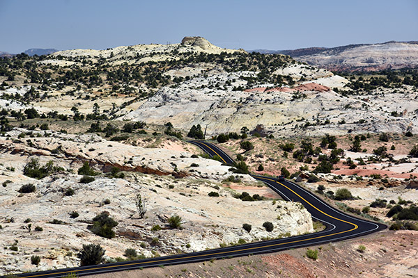
Continuing my adventure, the following morning, I eagerly resumed my route on Highway 12, heading towards my favorite section of the road, high above the captivating Grand Staircase-Escalante National Monument. This expansive and remote region boasts rugged canyons, vibrant cliffs, and extraordinary geological formations. The landscape, with its impossible rock formations, treated me to endless twisties, creating a sense of otherworldliness. My Tiger 900 was as happy as I was as I relaxed into the ride and allowed her to remind me again what her three cylinders can do. Both of us were in sync as we leaned into curve after curve as we blasted down to the bottom of the canyon.

As I reluctantly approached the tiny town of Boulder, Utah, I realized I had made short order through the endless twisties of this section of Route 12. However, I was unexpectedly greeted by an old-school cattle round-up, complete with cowgirls and boys herding a large herd down Highway 12! After a brief turnaround, I found solace in my favorite restaurant, the Burr Trail Grill. Their farm-fresh ingredients delighted my taste buds, whether it was their fresh arugula salad topped with local goat cheese or their beastly-sized burgers that proved a challenge to conquer.
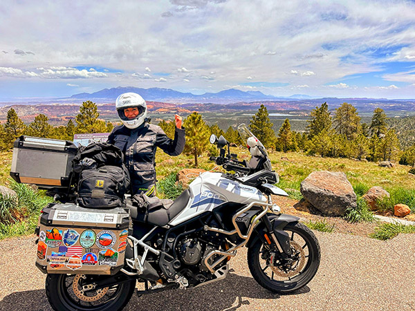
Resuming my journey on Highway 12, I found myself in an unexpected predicament. The cattle herd’s progress was slow, and I crawled along, clutching endlessly as I felt my left hand about to begin a serious complaint! Amidst the frustration, two memorable moments emerged. Firstly, a passerby exclaimed, “Dude, you have the sweetest bike and setup!” We shared a laugh as he realized I was indeed “dudeless.” Secondly, after navigating my way to the front of the line, I convinced the lead cowboy to move the herd slightly to the right, allowing me to pass. Maneuvering my bike through the cows became a comical adventure, with prayers that the sound of my motor wouldn’t startle them. Experiencing this traditional cattle drive in 2023 felt like a slice of Americana and added yet another reason to love Utah.

Leaving the cattle behind, I ascended Boulder Mountain, where endless views revealed the backside of Capitol Reef on the right and scenic meadows with clusters of aspen, fir, and spruce trees on the left. Surprisingly, the mountain still boasted more snow than expected for June. Camping, fishing, and wildlife viewing opportunities abound in this mountainous region, with numerous campgrounds and dispersed campsites available. I’ve personally spent nights here, savoring the breathtaking vista overlooking Capitol Reef and the sprawling valley floor. Soon enough I was descending Boulder Mountain and into the small town of Torrey, UT, and just a short few miles away from Capitol Reef National Park for two more nights of camping. A quick setup of my camp, and I was off to town for a much-needed shower and a cold beer! Later that day, a lovely couple I met in Zion joined me at my campsite and I was treated to a homecooked Korean chicken dinner, which was a far cry from the instant ramen I was planning for dinner. A lovely couple who reminded me that the gift of travel is the unexpected friends we make along the way.

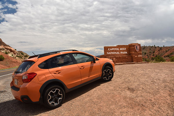
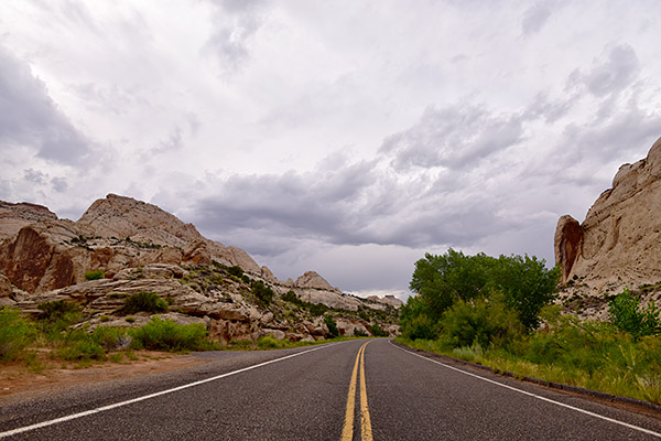
The next morning found me out on the trail a hump up to the top of the mesa for a panoramic view of the park. The air was crisp with hints of the heat to follow. The trail descends into a slot canyon then an arroyo wash to the other side of the park and beyond. Reluctantly heading back, I got on Tippi and explored the nearby petroglyphs. All in all, my short stay was a rewarding two nights and now headed to the not-so-famous outside of crazy riders who seek out remote roads Highway 50, billed as the loneliest highway in America!

Highway 50: The Loneliest Highway with a Detour to Great Basin National Park

I made a short order of breaking camp, and in no time Tippi and I were on highway 24 with the goal of making it to my 5th National Park, Great Basin. Following Route 24 goes through a rural farming section of the state with many small Mormon communities and opportunity for a breaks, food, and gas. I was eager to blow through this well-familiar route to get to Highway 50 and cut my teeth on a section of road I had been warned NOT to ride.
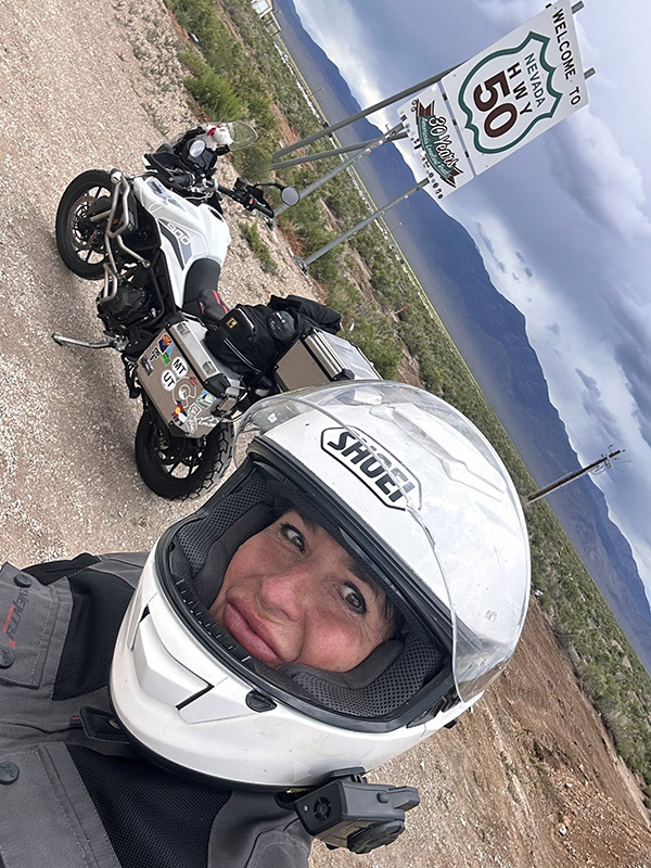
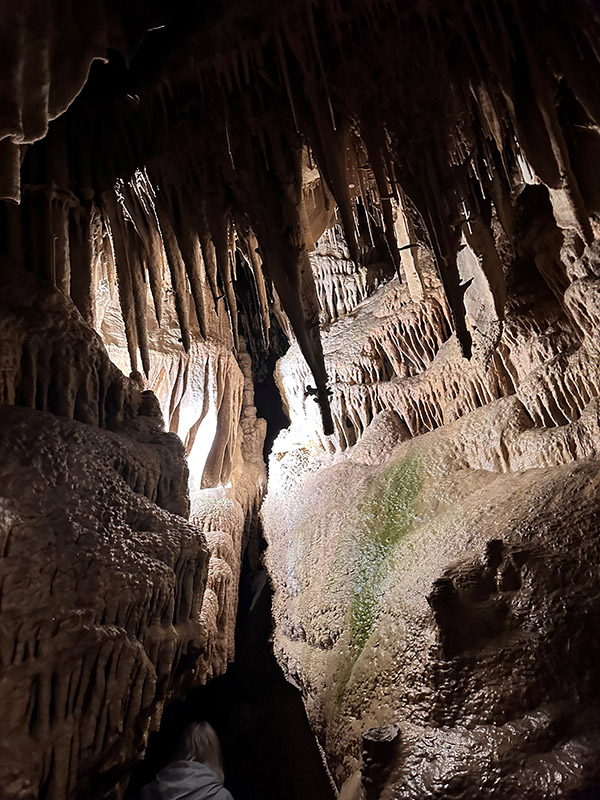
As I picked up Highway 50 off Interstate 15, I soon hit the famous first road sign and stopped to document my ride on her with a pic. With once again threatening storms, I glanced at the mountain ahead and thought how bad could it be? It was bad, I was wrong once again guessing the threat of a storm. A short very wet ride later, I left behind Highway 50 for a few days to visit the park. As a first timer to Great Basin NP, I was truly blown away! You enter the tiny town of Baker on the desert floor then 20 minutes later you are in the mountains with thick forest and views overlooking the high desert plains that seem to go on forever. Not to be missed is a guided tour of Lehman Caves. Truly the highlight of my stay. I selected one of the higher small campgrounds and was rewarded with a huge site surrounded by trees and brush with the river roaring behind me.
Reluctantly bidding farewell to Baker, I rejoined Highway 50, heading towards my next destination, South Lake Tahoe. Contrary to the dire warnings of scarce gas stations, I discovered that this notion was unfounded. Approximately 70 miles down the road, I arrived at Ely, another small mining town with plenty of services. After a quick refuel, I resumed my journey, realizing that the otherwise flat stretches of road were intermittently punctuated by mountain passes exceeding 7000 feet in elevation. These segments offered breathtaking vistas and enough twists and turns to satisfy both Tippi and me.
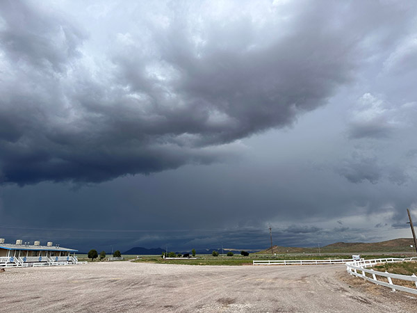
My first mountain pass, before descending into Ely, Nevada, presented an exhilarating ordeal with rain, lightning, and a brief ten-minute ride through hail. Eighty miles further, I found myself in the town of Eureka, where the threatening skies curtailed my exploration time. Nevertheless, I managed to visit a few must-see attractions, including the Opera House, built in 1879, the still-functional Courthouse of the same vintage, and a brief excursion to the town’s cemetery, where a variety of burial sites represented different social organizations, religious groups, and ethnicities. This walk-through history provided a fascinating glimpse into the town’s past.

Continuing on Highway 50, with the ominous skies in my rearview mirrors, I was reminded of the urgency to press on towards my next stop—Austin, Nevada. This old mining camp retains its rustic charm and has evolved into a haven for camping, hiking, and mountain biking, thanks to its proximity to the towering Toiyabe Mountains. During a pit stop, I encountered a large group of riders following the Pony Express Trail, who praised my adventure, while I vowed to return in the near future to explore that historic route.

Reluctantly bidding farewell to this enchanting mountain town, I embarked on another 112-mile stretch to Fallon, Nevada. This promised a well-deserved lunch break and refueling opportunity before the final leg of my journey to Lake Tahoe. As hunger pangs intensified, I hurriedly pulled into the first gas station I encountered. Curiously, the ground appeared slanted, making it impossible to safely park my bike with its kickstand without an extreme lean. Oddly, as my kickstand tends to be a bit high, I often worry about Tippi toppling over. Trying another station, I realized that my kickstand was not misaligned but broken—a sudden and unfortunate realization. With every ounce of strength, I fought to prevent Tippi’s full weight from pinning me between the gas pump curb and the engine crash bar. As I cried out for help, a kind soul named Caleb rushed to my aid, assisting me in righting Tippi. Examining the kickstand, I conceded that my lunch break was a lost cause. I refueled while seated on my bike and came to terms with the fact that I would have to ride the rest of the way without lunch and with a dangling kickstand, just inches off the ground.

Continuing Towards Lake Tahoe

Arriving in Lake Tahoe was like reaching an oasis after a day filled with challenges and stunning scenery. The sight of the crystal-clear waters surrounded by towering pine trees was simply breathtaking. I met up with Mike Huber, a fellow adventure rider, as we eagerly exchanged stories of our respective journeys over drinks and pizza. Mike is a seasoned rider with an incredible collection of travel stories and insights, and this blog, which is a treasure trove of motorcycle adventures.
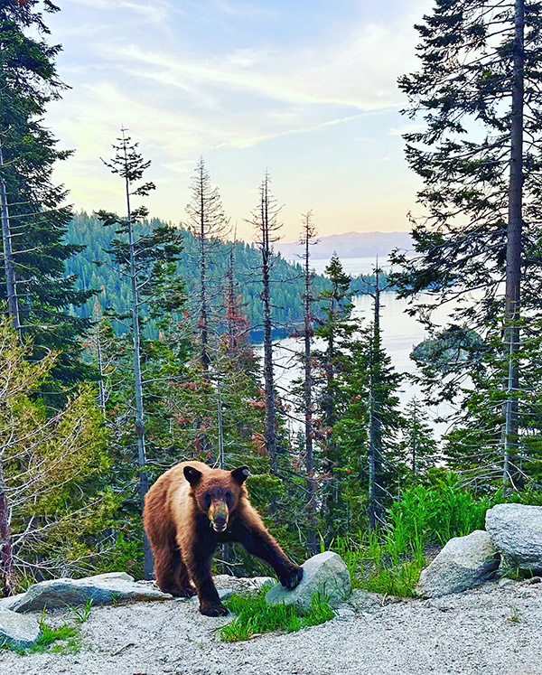
We decided to make the most of our time in Lake Tahoe by exploring the area together and spending time with our dear friend Yvette who had left Sedona for the mountains and lakes surrounding Tahoe. Two up on Tippi, our first stop was a visit to Emerald Bay State Park, a gem nestled on the lake’s southwest shore. A short hike up a roadside trail took us to a stunning vista overlooking Emerald Bay below. The clear blue waters and Fannette Island in the middle of the bay made for a postcard-perfect scene. At sunset we were even rewarded with a surprise pop up of a brown bear who a few feet away provided us with a pose straight up worthy of National Geographic!

Lake Tahoe, with its stunning shoreline, pristine waters, and surrounding mountains, offers many outdoor activities. We decided to spend the next afternoon cruising around the lake, taking in the panoramic views and stopping at scenic overlooks. Riding around Lake Tahoe was a highlight of my journey, and I couldn’t have asked for better company.

Conclusions

As I reflect on the second part of my solo motorcycle journey from Sedona to Canada, I’m filled with deep gratitude for the experiences and sights that have unfolded before me. From the awe-inspiring beauty of Bryce Canyon to the challenging twisties of Route 12, from the serene landscapes of Great Basin, this adventure has been a testament to the power of the open road and the indomitable spirit of solo travel.

Every mile has been a lesson in self-discovery, a reminder of the world’s beauty, and a celebration of the freedom that comes with embracing the unknown. The road has been my companion, and the landscapes have been my muse. And as I continue to ride north into Canada, I know the journey is far from over. There are more roads to explore, adventures to embrace, and stories to tell.

Stay tuned for the next chapter of this solo ride from Sedona to Canada. The open road beckons, and I’m eager to see where it will lead me on this journey of a lifetime.


Never miss an ExNotes blog:


Zion National Park

Zion. The name implies something of biblical proportions, something religious or heavenly.  It’s easy to understand that’s what the Mormon settlers thought when they entered this area in the mid-1800s. One of the crown jewels of the National Park system, Zion may be as close to heaven as you can get without a one-way ticket.

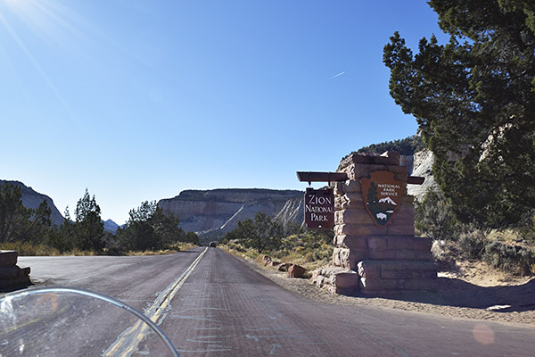
Late in the day, entering Zion National Park from the east on Utah SR 9.

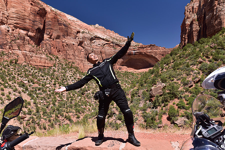
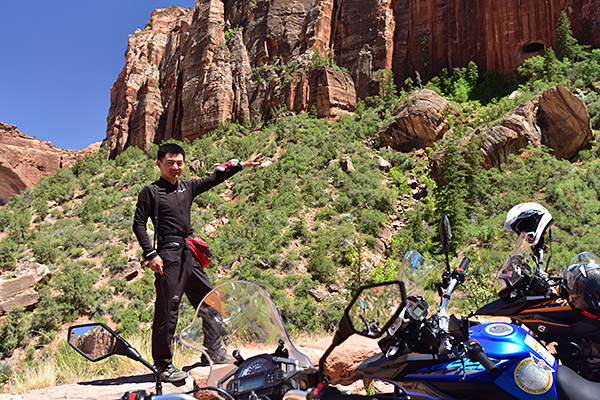
I’ve visited Zion many times, and I’d go back again in a heartbeat.  Living in So Cal, Zion is only a day’s ride away.  I’ve been there in cars and many times on motorcycles ranging from 250cc Chinese imports to Big Twin Harleys.  My strong feelings for Zion are personal: It was the destination of my first big motorcycle trip. My riding buddy and departed friend Dick Scott suggested Zion back when we were going through our Harley phase (a phase most of us passed through), and it was beyond beautiful as we rolled into the park on Utah State Route 9.  Zion exceeded anything I could have imagined; I remember feeling like I was riding into a Western painting.  It has this effect on everyone with whom I’ve ever visited the Park.  That big photo above?   That’s Mr. Tso, a very likeable visitor from the Peoples Republic of China who rode with us on the CSC Motorcycles/Zongshen 5000 Mile Western America Adventure ride (a publicity effort that sold more than a few RX3 motorcycles worldwide).
Riding into Zion National Park, peering over the windshield. It’s almost a religious experience.

Nestled where the Mojave, the Great Basin and the Colorado Plateau meet, Zion requires adjectival adeptness to even approach an accurate description. Pastel pink mountains, verdant vegetation, electric blue skies and emerald pools combine with abundant wildlife to create a surreal collage of seemingly endless picture postcard scenes. As national parks go, it’s small, but the scenery is absolutely over the top. I’ve been to a lot of places on this planet, and I can state with certainty that Zion’s beauty is unsurpassed.  The wildlife add to the experience.  On one of the CSC rides (the Destinations Deal ride), we hit what I thought was traffic and had to stop in one of Zion’s tunnels.  I was frustrated until I lane split to the front of the line and found that the delay was caused by a group of bighorn sheep majestically and casually crossing the highway in front of us.  They were magnificent, and no, I did not get a photo.

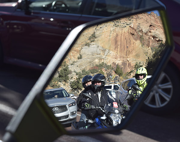
Stopped by a bighorn sheep herd, with my fellow Zongers in the rearview mirror.
Taking in the splendor that is Zion, this group of riders is stopping to takes photos.
Tony, who is finding Zion to be a bit different than the Peoples Republic of China.

The folks who know about such things think the first humans inhabited Zion a cool 12,000 years ago, hunting local game including woolly mammoths, camels and giant sloths. As these critters were hunted to extinction, the locals turned to farming and evolved into an agrarian culture known as the Virgin Anasazi. The Paiutes moved in when the Anasazi migrated south, and then the Mormons settled alongside the Paiutes in the mid-1800s (that’s when the area received its biblical moniker). Archeologists are still finding evidence of these earlier civilizations.  These earlier folks were moving into Zion around the same time that the indigenous peoples were creating the cave paintings in Baja.

A wide-angle photo of SR 9 winding through Zion National Park.
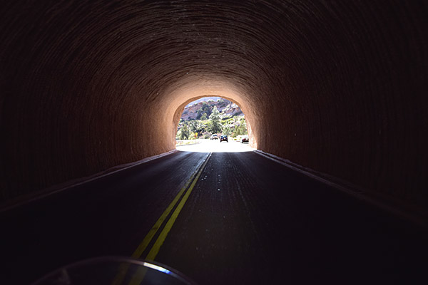
One of the tunnels through Zion’s mountains along Utah SR 9.

The Great Depression brought great change in the 1930s, and Franklin Roosevelt’s Civilian Conservation Corps built roads and added upgrades to make the park more accessible. The Virgin River cut deeply through sandstone to create magnificent channels and impressive geologic formations, and the CCC work made these areas easier to reach. For most people, a visit to Zion is to see the sights from the valley floor, but you can also take a half-day excursion up the western edge of the park on Kolob Reservoir Road.  From there, you can look down into Zion for a completely different and equally magnificent perspective of the area.

Good buddy Rob, Willie, and more on a ride through Zion National Park.

Let’s talk about the ride — more superlatives are in order here. From any direction, you’ll know you are approaching a magical area. Antelope. Deer. Brilliant blue skies. Magnificent forests. Stunning mountains; it’s all here. From Southern California, you’ll experience tantalizing two-wheeled treats as Interstate 15 cuts through the canyons carved by the Virgin River. Riding in from Arizona’s Grand Canyon region southeast of Zion, the roads are similarly magnificent. And if you’re riding in from Bryce Canyon National Park to the northeast, well, you get the idea. This is one destination that has to be on the bucket list.

An easy ride from southern California…just take I-15 north and exit at Utah SR 9.

Zion National Park is an easy one-day freeway ride from southern California. Grab Interstate 10 East, then I-15 North through Nevada into Utah, to Utah Route 9 East (as you see in the above map).  From the south, pick up State Route 89 North in Flagstaff and watch for the signs where Route 89 crosses 9 West before Mt. Carmel, Utah. From the northeast, it’s I-70 West and grab the exit for Route 89 South.

Looking up from the floor of Zion National Park. In Zion, you are mostly in the canyons looking up.

As mentioned above, unlike Bryce Canyon or the Grand Canyon (two National Parks in which you look down into the rock formations), at
Zion you are in the canyon looking up.  For a different Zion perspective, take the Kolob Reservoir Road from the north to see things looking down into Zion. Check weather conditions first, as the road climbs to over 8,000 feet and may be impassible during the winter months.  Kolob Terrace Road begins in Virgin, Utah, about 13 miles west of Springdale. Look for the sign to the Kolob Reservoir.

If you’re looking for a good place to eat, Casa de Amigos Restaurant in Springdale, just before you enter Zion from the south, is a good spot (the shredded chicken burritos are my favorite).  It may be a victim of the pandemic, as Google indicated it was closed temporarily.  If you enter Zion from the east, Mt. Carmel is the last town before you reach the Park and there are several restaurants and hotels there.


Never miss an ExNotes blog!


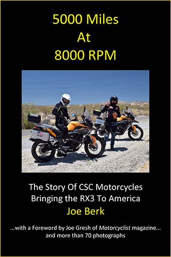
If you would like to learn more about our 5000-mile christening ride through the American West on Chinese 250cc motorcycles, pick up a copy of 5000 Miles At 8000 RPM.

Bryce, Grand Staircase-Escalante, and Capitol Reef

Utah, hands down, is the most beautiful state in the Union.  I’ve been to every state in the US except North Dakota, and unless there’s something hiding up there, Utah gets my vote.   There are places in Utah with scenery and riding that are as close as you can get to heaven without a one-way ticket.  There’s Zion National Park (to be covered in a future blog), there’s Bryce Canyon National Park, Grand Staircase-Escalante National Monument, and Capitol Reef National Park (which I’ll cover in this blog), there’s Cedar Breaks National Park (a topic for a future blog), there’s Kodachrome Basin State Park (another future blog), there’s Flaming Gorge National Park (that’s coming up in another blog), and there’s Arches National Park (to be yet another blog).  And then there’s the Dinosaur Highway.  I’ve been to all of them, and I’m telling you, if you like road trips it doesn’t get any better than Utah.

Panguitch on the western end of this trip, and Hanksville on the eastern end. It is a grand ride.

There’s a reason I’m touching on Bryce, Grand Staircase-Escalante, and Capitol Reef in one blog.  Two reasons, actually:  State Routes 12 and 24.  These two roads run through all three National Parks, and they are two of the best roads I’ve ever ridden.  If you want to plan this grand adventure, start in Panguitch, ride Utah SR 12 and 24, and spend the following night in Hanksville, Utah. I’ve got good places to have dinner in both towns, and I’ll share them with you in this blog.  It’s a full day’s ride to get from one to the other (maybe longer if you want to stop and see the sights).

The large featured photo at the top of this blog is in Bryce Canyon National Park. This is another photo in Bryce. Unlike Zion ((where you are in a basin looking up at the rock formations), in Bryce you are up top looking down into the colorful canyon. Bryce has stunning views.

This is the most beautiful stretch of the planet I’ve ever ridden. The colors and the riding are stunning. Think bright blue skies, vibrant and verdant pine trees, and multi-colored pastel rock formations. The formations include stunning pinnacles called hoodoos, plus arches, large rock mounds, exposed vermillion cliffs and monstrous domes and folds in the Earth’s surface. Although the region was once alive with dinosaurs, you most likely won’t see fossils. But you will see an artist’s palette of pleasing pastels: reds, pinks and browns due to iron in the sandstone, yellows and creams created by limonite, and purples presented by pyrolusite. Whatever the chemistry, the display through this stretch is dazzling.

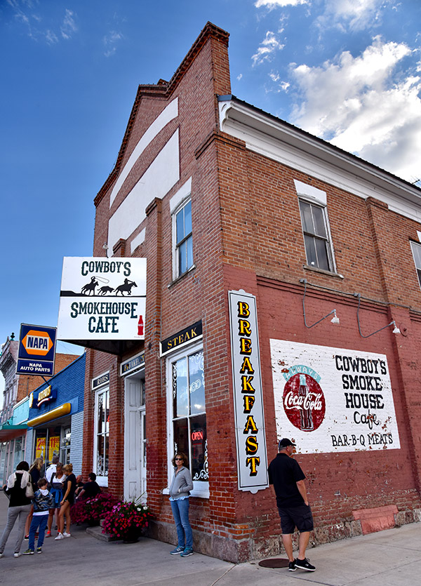
The spot for dinner in Panguitch is the Cowboy’s Smoke House Cafe. You’ll probably have to wait to get in. Trust me: It’s worth it.

You can ride US 89 from Panguitch to pick up SR 12 at its western end. Head east and in just a few miles you’ll be at Bryce Canyon National Park. Bryce is one of America’s jewels, with hoodoos arranged in several natural amphitheaters. An early morning start will help capture dramatic photos; the sun will be low in the eastern sky and the resultant lighting makes the colors pop. Native American Paiutes thought these hoodoos were ancestors turned to stone. Take a long look at some of these formations and you’ll see why.

Stay on SR 12 after Bryce and you’ll skirt Grand Staircase-Escalante National Monument on tantalizing twisties. All of SR 12 is breathtaking; it is something out of a dream. It takes you through a series of red rock formations and then winds along a ridge with sheer drops on either side. Forget about guard rails and shoulders; you’ll feel as if you are riding the sky. Cook a corner too fast on this stretch and you’ll wish you were wearing a parachute. This area, more than any other I have ever ridden, is a near-religious experience.

The red rocks of Utah along SR 12.
It was tough to keep going on Utah SR 12…I wanted to stop after every corner for photos.
One of many scenes along Utah SR 12. You need to ride this road. It’s one of the best.

State Route 12 tees into SR 24, but you’ll be able to see Capitol Reef National Park long before you get to SR 24. Head east on SR 24 toward Hanksville and you’ll ride through much of the accessible portion of Capitol Reef. It’s perhaps the least known of Utah’s national parks, but its scenery is as stunning as any of the other parks.

Capitol Reef and Utah SR 24.

Only a portion of Capitol Reef is visible from SR 24, but it is outstanding. Hundreds of miles of unpaved roads into Capitol Reef offer similar scenic views. The park’s unique white sandstone domes (similar to the U.S. Capitol building) were formed by a warp in the Earth’s crust 65 million years ago. “Reef” refers to any barrier to travel, and when you see these formations, you’ll certainly understand the name.

Another scene along SR 24 heading east.
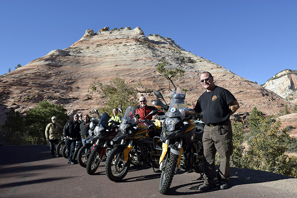
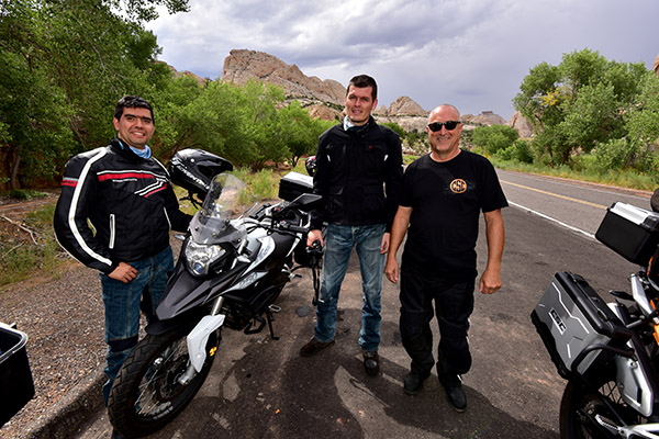
Gabriel, Juan Carlos, and Uncle Joe along SR 24 after rolling through Capitol Reef. We rode 5000 miles through the western United States on brand new 250cc CSC motorcycles. It was a great ride with great guys.

State Route 24 follows the Fremont River through Capitol Reef National Park, and as it twists and turns on its way to Hanksville, you’ll be thanking me for turning you on to these very special roads.  The Whispering Sands hotel is a good, clean place to spend the night, and Duke’s Slickrock Grill is a great place for dinner.  Try the trout; it’s wonderful.  And don’t miss the photo op standing next to Duke.


Want to discover more great moto destinations?   We’ve got you covered!

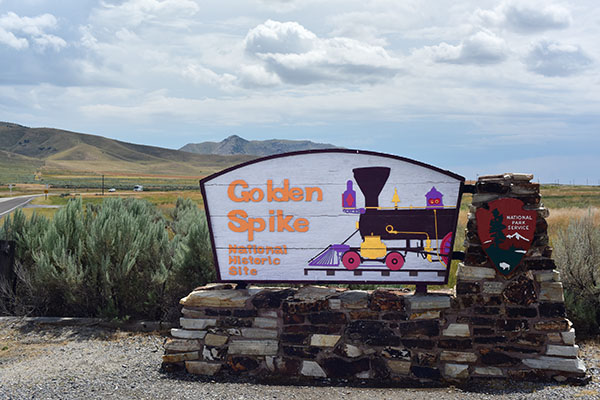
Golden Spike National Historic Park

To continue our Utah exploration, this blog is on the Golden Spike National Historic Park in Promontory, Utah.   This is where the Transcontinental Railroad came together, with the Union Pacific building from the east, and the Central Pacific building from the west.   The Transcontinental Rail Road was completed on 10 May 1869.  It’s quite a story, and Golden Spike National Historic Park does a grand job in telling it.

Heading into Gold Spike National Historic Park.
The National Park Service advises not listening to your GPS, but to instead watch for the signs.
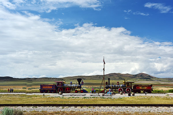
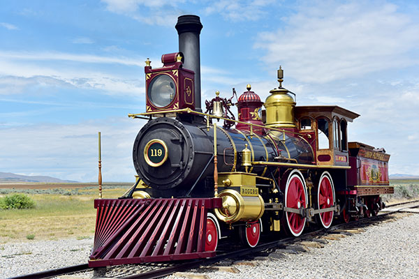
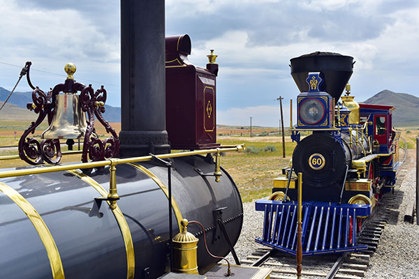
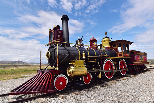
Jupiter and No. 119. Both locomotives were built in the eastern, industrialized US.
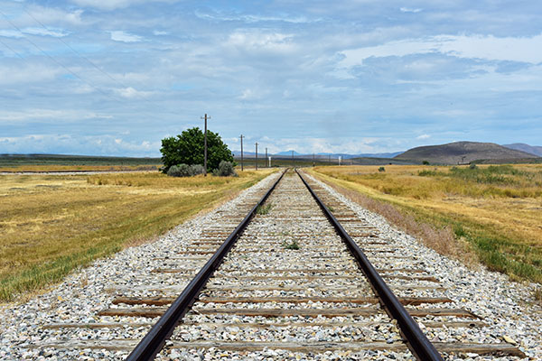
Keep going in one direction, and these tracks would lead to Council Bluffs, Iowa. Head in the opposite direction and you’ll arrive in Sacramento.
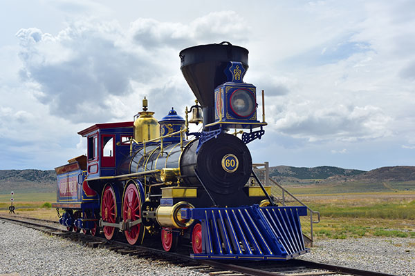
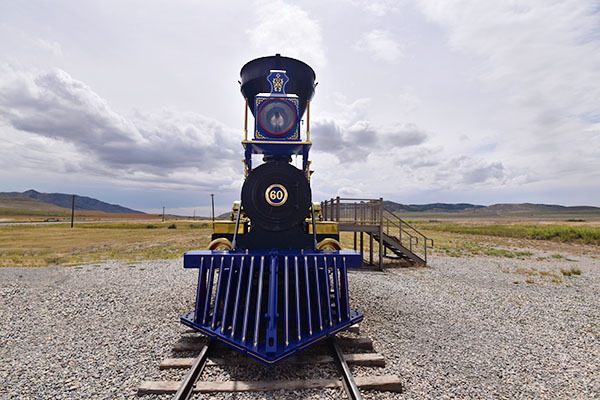
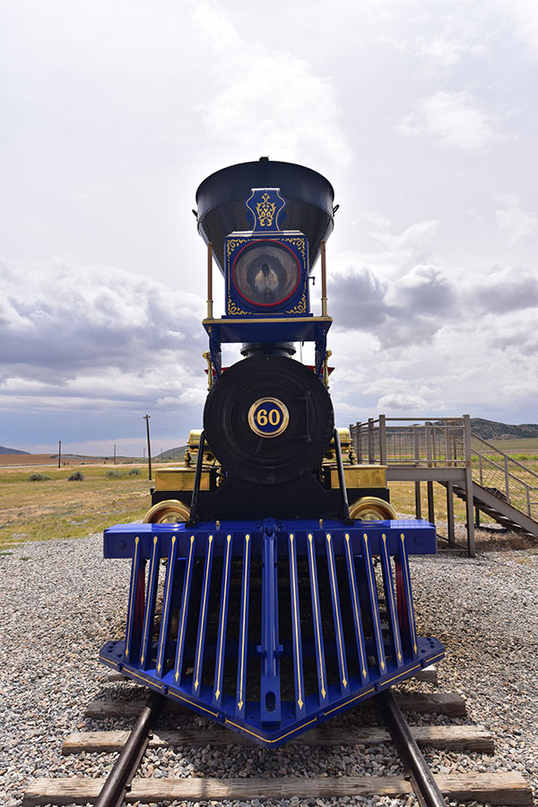
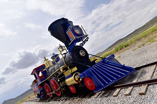
Jupiter and its coal tender. Both this locomotive and No. 119 (see below) are not the originals. They were reverse engineered from photographs and completed in 1979.
No. 119. Neither Jupiter nor No. 119 were supposed to be the locomotives that met at this site. Antelope was replaced by Jupiter when it hit a fallen tree trunk along the way to Promontory. No. 119 replaced another locomotive when the first one was chained to the rails in Piedmont, WY, by workers who had not been paid.
A reenactment of a famous cowcatcher kiss.
Another view of Jupiter.
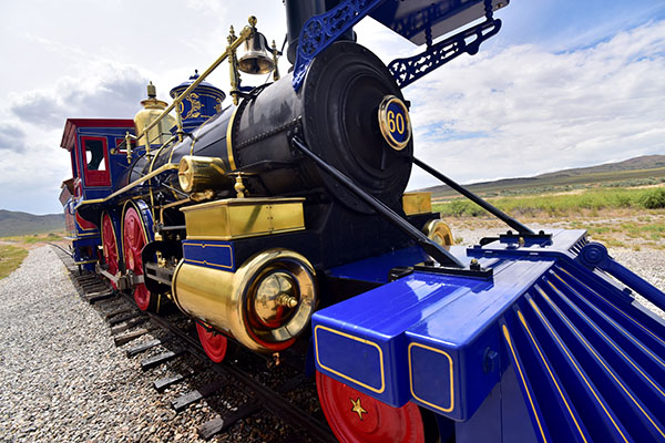
And another. If you are a photography enthusiast, Utah is a target-rich environment.
No. 119 basking in the Utah sunshine.
I had a new wide-angle lens when I shot these photos.
Colorful Jupiter. Both originals, Jupiter and No. 119, died a death that didn’t quite fit their historical significance: They were both sold for scrap (at less than $1000 each) in the early 1900s.
And finally, headed back to Ogden, Utah, on State Route 183.

Susie and I arrived late in the afternoon at Golden Spike National Historic Park to catch their last presentation of the day.  We hung around for a bit taking a few more photos and were about to leave when one of the docents suggested we stay a little longer.  They were about to move the locomotives back to their garage, or barn, or whatever you call the structure where you park a locomotive.   We were glad we did, and I grabbed this video.

The Three Flags Classic: Day 3

The third day of the 2005 Three Flags Classic motorcycle rally would take us from Grand Junction, Colorado (where we stayed the second night of the tour) to Driggs, Idaho.   Wowee, we were covering some miles!  You can catch up on the ride by reading our prior blog posts here:

The 2005 Three Flags Classic Rally:  the Intro!

The Three Flags Classic:  Day 1

The Three Flags Classic:  Day 2

And with that, let’s get to Day 3!

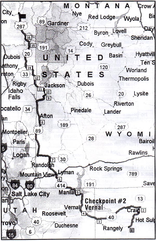
Day 3 of the 2005 Three Flags Rally.  Colorado, Utah, Wyoming, Idaho…it was magnificent.

As you’ll recall, it had rained big time during parts of Day 2, and it had continued to rain that evening.  The next morning, though, was a bright, crisp, Colorado day, and after a great breakfast, we pointed the bikes north and crossed over into Utah.

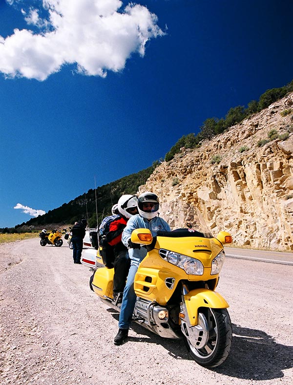
The Gold Wing (shown here in Utah) was the most popular bike on this trip. They sure looked comfortable compared to my Daytona!

Utah was amazing. I continue to believe it is the most scenic of our 50 states.   Although I had been to Zion and Bryce on previous trips, the Three Flags Classic was taking us to places I had never seen.  We had a checkpoint in Vernal, a most interesting place in the heart of Utah’s dinosaur country.

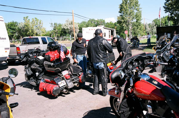
Check out the way this guy has his Harley packed at the Vernal checkpoint. Think he might be dragging a bit in the corners? Harleys and Gold Wings were the most popular bikes in the 2005 Three Flags Classic.

We rode north, up to and around Flaming Gorge Reservoir.  These were all magnificent destinations.  The folks who planned the tour route did an amazing job.

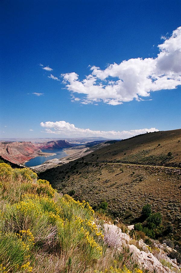
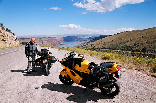
Looking down into Flaming Gorge Reservoir in Utah.   The colors, the brightness, it was all amazing.  All of these photos were on film, captured with a Nikon N70 camera.
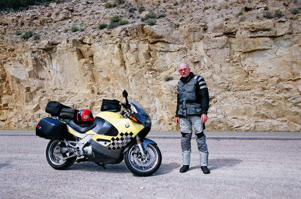
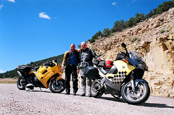
Marty and his Beemer, with Utah as a backdrop. Marty is the guy who invited me on this ride. He’s another serious long-distance rider, having put nearly 100,000 miles on this BMW. The machine looks as if it is brand new. Today in 2019, it’s still parked in his garage.
With Marty near Flaming Gorge.
Marty and the motorcycles, with Flaming Gorge Reservoir in the background. The photo ops on this ride were amazing.

After leaving Utah, we entered Wyoming for a brief period, and then we were into Idaho. Idaho is a beautiful state. We saw quite a few dead animals on the road, and in particular, a lot of dead skunks. We also saw a few larger roadkill carcasses that I didn’t immediately recognize. I later learned they were wolves!

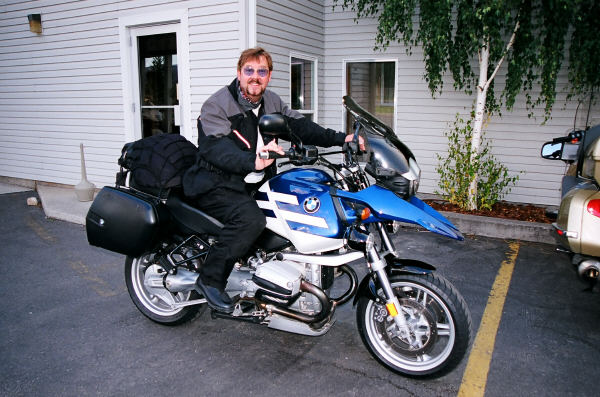
My friend Dave on his BMW in Driggs. This is a beautiful R1150GS. Check out the custom lighting (just below the turn signals) and the custom wheels. Dave’s bike was always spotless. He cleaned it every night.

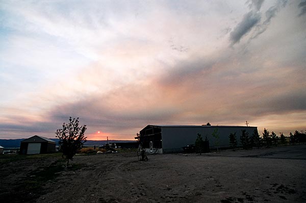
We would our night in Driggs, Idaho, at the end of Day 3.   It was an interesting night, with forest fires raging around us.   We had a great dinner, more great conversation, and I was getting to know the guys better.  Marty, as always, was an easy guy to travel with.  I got to know good buddy Dave, shown in the above photo, a lot better on this trip, too.  Dave was an absolute fanatic about keeping his bike clean, which was a hell of a challenge considering all of the rain we had ridden through the prior day.  We had a bit of rain that night after dinner, too, and I remember talking to Dave as he was wiping down his GS, in the rain, cleaning it as the rain fell on the bike.  I told him he was going to have a hard time, washing a bike in the rain, and we had a good laugh about that.

Looking due west after dinner in Driggs, Idaho. Smoke filled the skies from fires raging all around us.

And that, my friends, wraps up Day 3 of the 2005 Three Flags Classic.  The following day would take us way up north to Whitefish, Montana, just south of the Canadian border.  It had been an amazing three days so far, and we still had a long way to go.  But that’s coming in future blogs.

Stay tuned!