By Mike Huber
It was early November and I had wrapped up my travels for the year, a bit early (I literally ran out of places to go). Upon returning home to the United States of America and wrapping up my book, it didn’t take too long before I was bored. I mean, there isn’t too much to do in Maine during the winter. I thought booking a getaway just for a week to a warmer climate would be a good idea. So, of course, I chose Iceland.
 Iceland has been on my bucket list for a couple decades and for one reason or another it just never came to fruition. I decided to go against all common sense and make it happen (yes, in late November). Packing nothing but a small backpack, I was off the following day on a nonstop flight to Reykjavik.
Upon landing in the capital of Iceland at 9:00 a.m., one thing I really didn’t factor in was the lack of daylight in this country. As I exited the airport it was still pitch black and the sun didn’t really even start to peak out until well after 10:00 a.m. It also set just after 3:30 p.m., so any tours or activities I was to attend would have to be done with a purpose.
Having arrived just before American Thanksgiving and with adjusting to the time difference (I slept the entire 1st day), I thought I would hit a local bar for Thanksgiving dinner, possibly some American football, and some beer. I lucked out and found a bar that had great turkey sandwiches, football, craft beers, and a great crowd to hang out with.
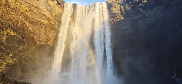
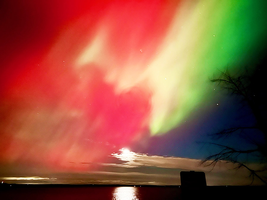
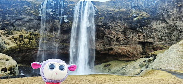
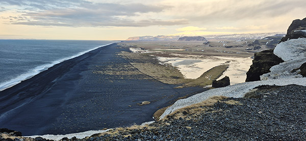
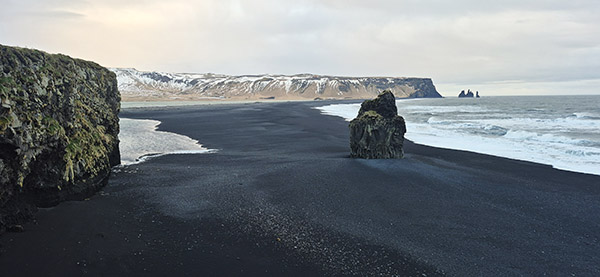
It didn’t take long for me to link up with an American Marine who had rented a car for doing photography throughout the island. He was focusing primarily on photos of the Northern Lights. Since I hadn’t rented a car, we decided to spend a few days driving around the island and split the cost as we captured the Aurora Borealis, waterfalls, and stunning beaches with black sand.
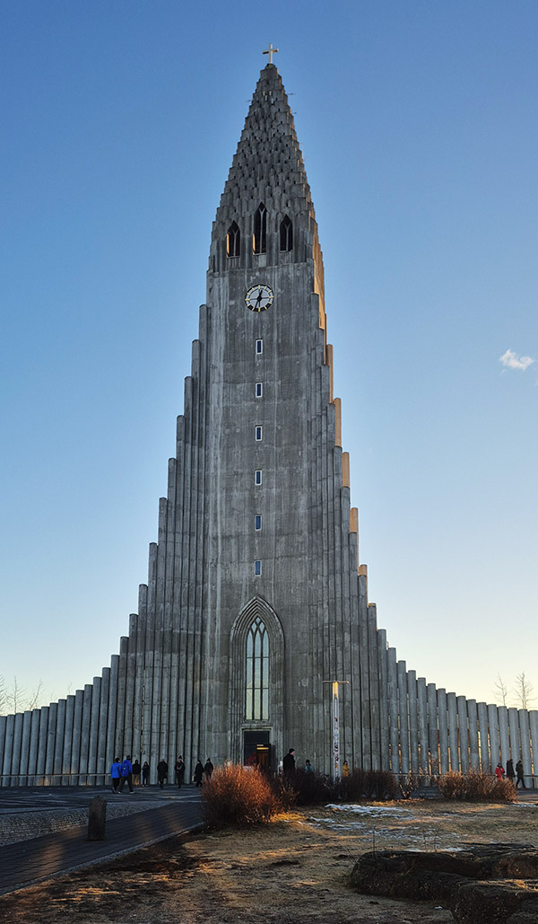
After traveling around Southern Iceland, I decided to extend my stay another week to just relax in the hot springs throughout Reykjavik and get caught up on some writing, sleep, and meeting locals in pubs around the city. Iceland has a great relaxing vibe, and even though I was limited due to sunlight, I was fortunate enough to visit. At some point in the future, I’d love to return to do a full trip around the island camping (during the summer months, of course).
Subscribe to ExNotes for free!
We need your support! Do what you can to help ExNotes stay in the black!

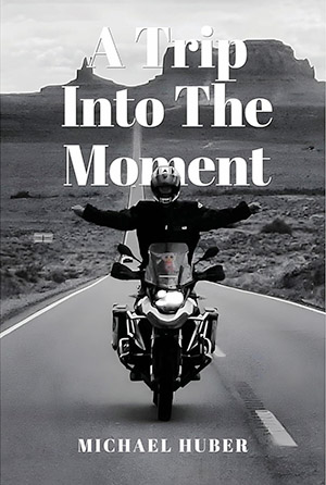
More Huber? Check out A Trip Into The Moment.
More Gresh and Berk? You bet! Check out A Cup O’ Joes!

Join our Facebook ExNotes page!
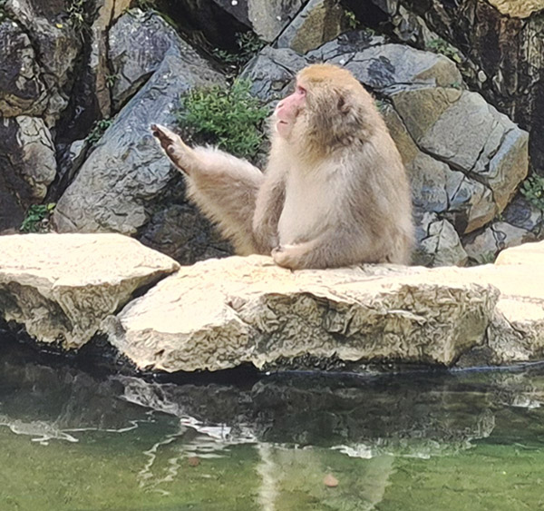
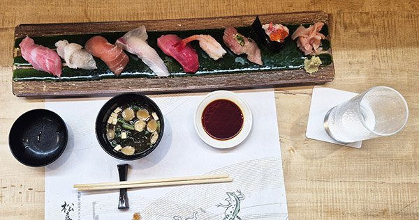
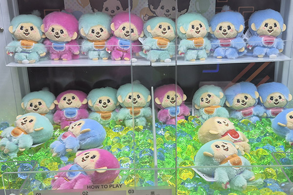
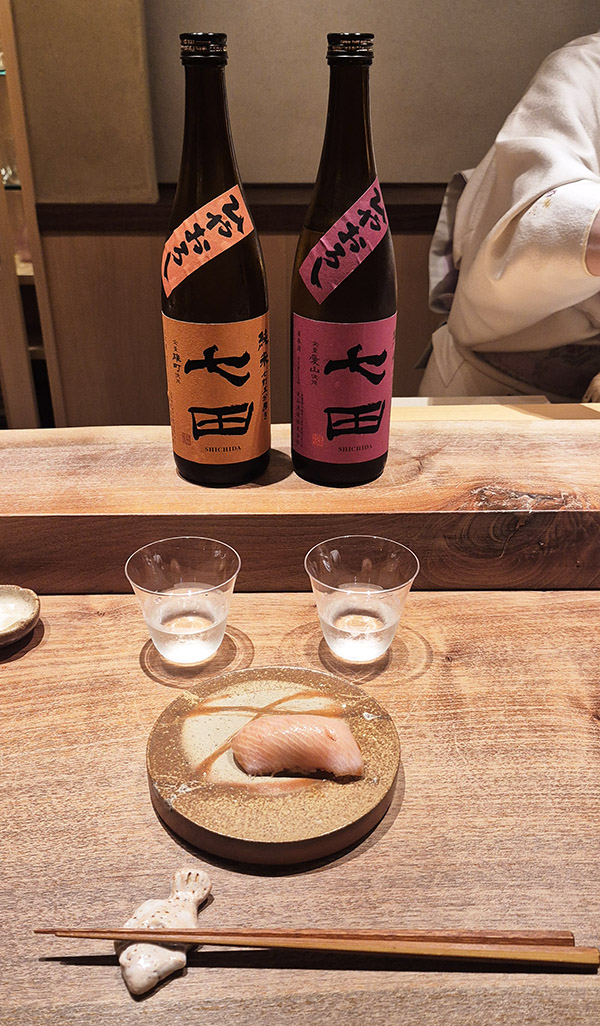
 A pod hotel is just that. It was a giant room filled with about 50 or so small containers like sleeping pods that are stacked two high. It is absolutely like sleeping in something you’d see in an 1980s sci-fi movie. This particular pod hotel had three floors of pods, and then on the top floor, an onsen (Japanese hot springs), a cold bath, showers, sauna, and a large dayroom for hanging out. For the price (approximately 40 USD) it was perfect for my 4-day stay in Tokyo.
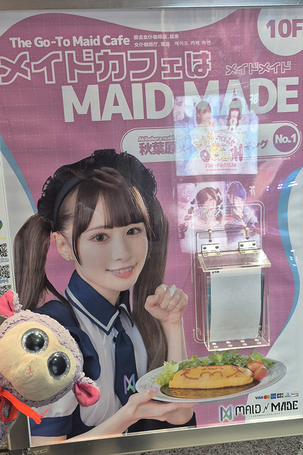

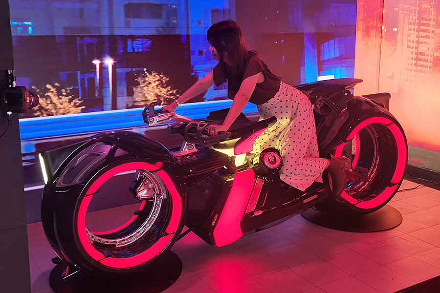
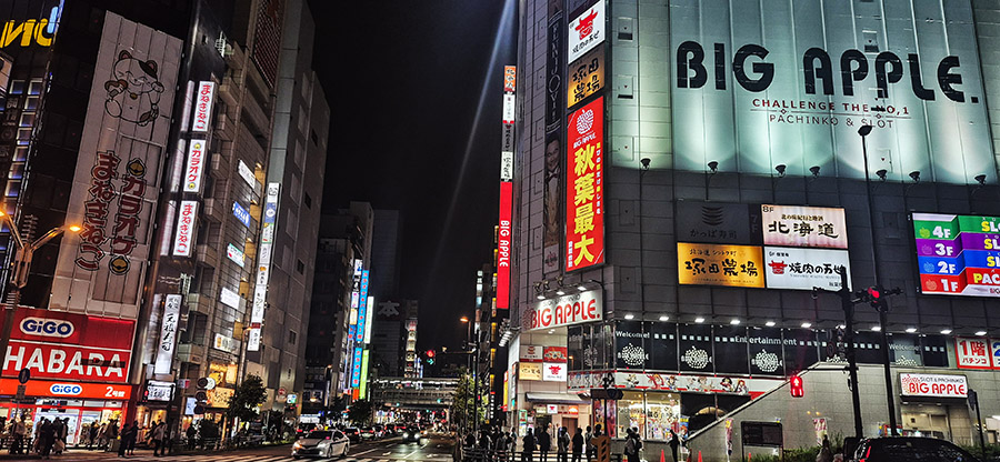
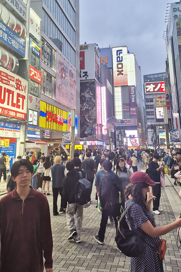
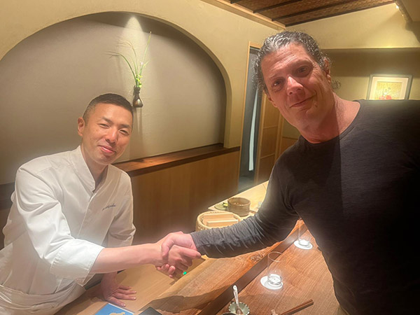
 I am usually comfortable with no planning, but before arriving in Tokyo (one of the largest cities on earth), I was feeling overwhelmed. Within 30 minutes of landing I learned there was no need for those feelings, though. Tokyo is one of the most organized, safest, cleanest, and well laid out cities I have ever visited. As I traveled through Japan for the next five weeks, I learned the people are some of the most beautiful in the world, and that is coming from someone who has seen quite a bit of the world.
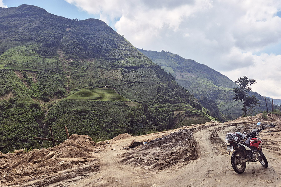
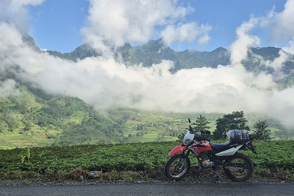
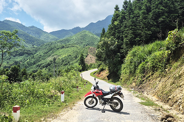
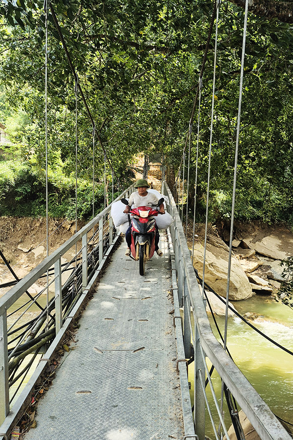
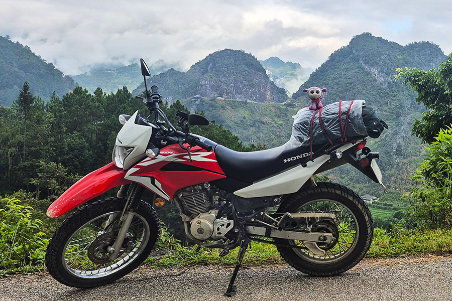
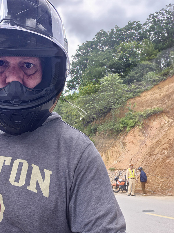
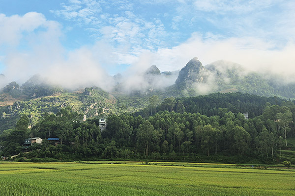
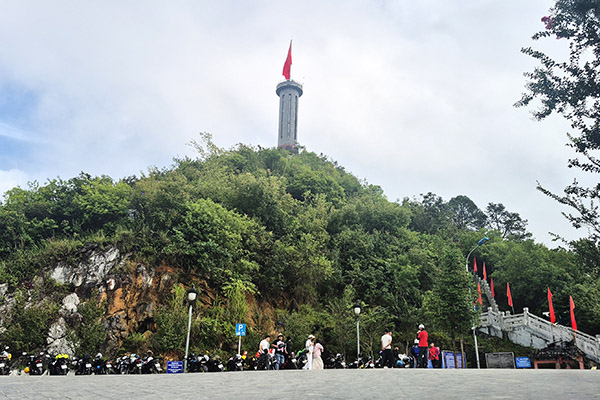
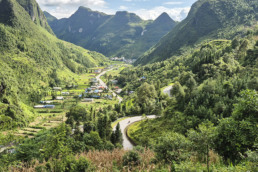
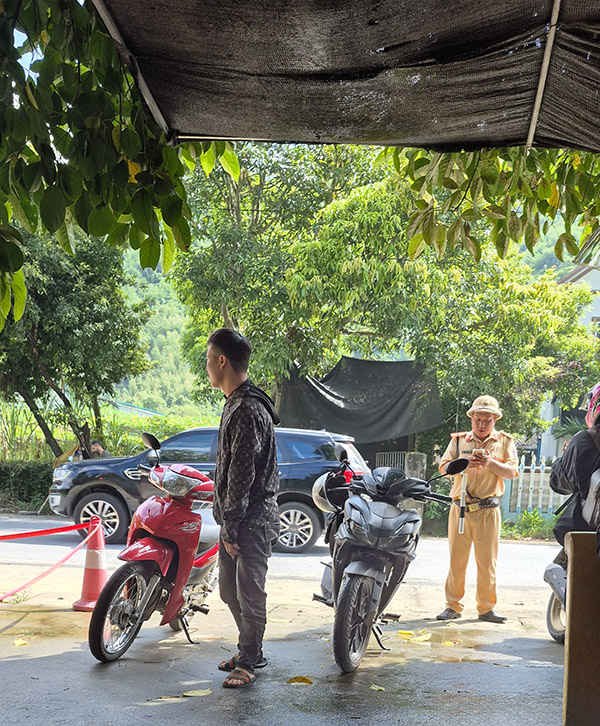
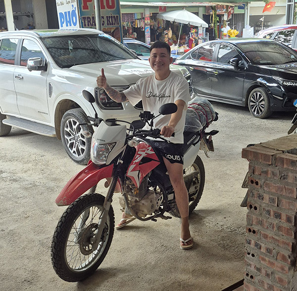
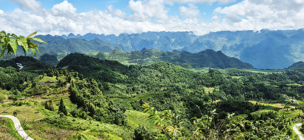
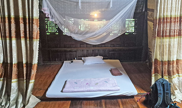
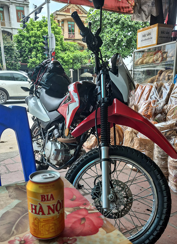
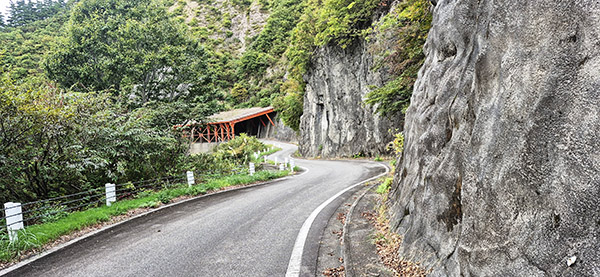
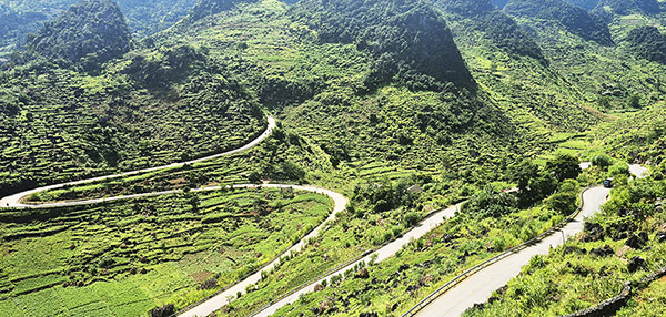 This would be the Vietnam I was looking for. No congestion, no traffic stops, just miles of mountain switchbacks. This new chosen path didn’t come without a bit more adventure, too. Over the next five days I didn’t see one Westerner or tourist. None. The village homestays I chose were so far off the beaten path I don’t even think many of the locals had ever seen a Westerner. Communication was strictly between my charades and some Google Translate. The more rice wine I drank at the end of the evening, the less I relied on Google and the more colorful my charades became.