By Bobbie Surber
Embarking on a motorcycle trip from Arizona to British Columbia I set two goals for myself: to visit as many national parks as possible and to explore remote and intriguing roads. During my pursuit of the latter that I stumbled upon Highway 50, also known as the “Loneliest Road in America.” It offered the bonus of passing through the Great Basin National Park.
Like any good planner, I turned to social media for advice on surviving this desolate route (add in a touch of sarcasm). The responses I received were mostly negative, with warnings about the challenges of riding alone, extreme heat, lack of gas stations, and overall boredom. However, a few seasoned riders who were familiar with the road reassured me that not only would I survive, but I would also have the opportunity to earn a certificate attesting to my survival. With this mixed bag of feedback, I embarked on my journey, eager to uncover the truth about the Loneliest Road.
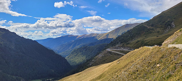
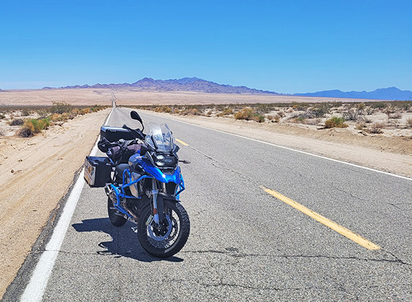
 Highway 50, stretching from West Sacramento, California, to Ocean City, Maryland, is a scenic route that earned its moniker from a 1986 Life magazine article that described it as desolate and isolated. The section of Highway 50 referred to as the Loneliest Road is in Nevada. This road winds through vast stretches of remote desert landscapes, featuring rugged mountains and expansive plains that contribute to its reputation.
Traveling along the Loneliest Road offers a unique experience, characterized by long stretches between services. It is essential for travelers to come well-prepared, as gas stations, restaurants, and accommodations are few. Adequate fuel, extra food and water supplies, and an acute awareness of weather conditions, particularly during extreme heat or summer and winter storms, are crucial.
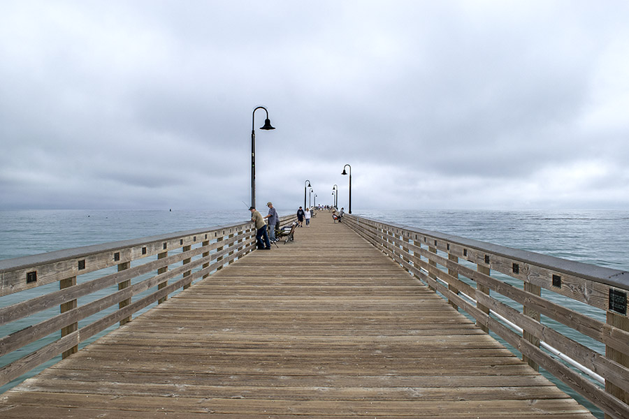
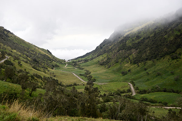
Despite its reputation for solitude, the Loneliest Road in America showcases stunning natural beauty, allowing travelers to immerse themselves in the vastness of the American West. Along the route, one can encounter remarkable attractions such as the Great Basin National Park, Lehman Caves, and several ghost towns. These highlights offer a glimpse into the unique charm and allure of this road less traveled.
Let’s dive into my own epic experience along this renowned route.
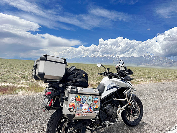
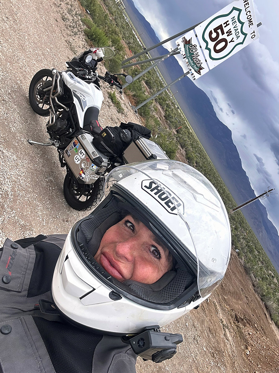
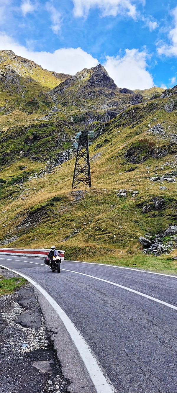
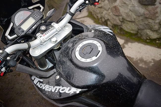
My journey began when I left my home in Sedona, AZ, riding my trusty Triumph Tiger 900 GT Pro, affectionately nicknamed “Tippi,” as she likes to take what I call unscheduled naps tipping over often at inconvenient locations. Loaded with gear for a summer of adventure, I set off on a bright June Sunday morning, spending five days exploring North Grand Canyon, Zion, Bryce Canyon, and the captivating Highway 12, before spending two nights in Capitol Reef.
Leaving Capitol Reef, I eagerly anticipated joining the long-awaited Highway 50, where it intersected Interstate 15 in Utah. Initially, the road meandered through open plains with scattered ranches along the way, offering nothing too remarkable. However, about an hour later, the ride became more intriguing as the winds picked up. As I glanced ahead, an ominous sky threatened an impending storm. Riding past sand and salt fields, I witnessed a bewildering phenomenon—the salt in the fields seemed to defy the wind, rising straight up in vertical columns rather than blowing or swirling. Bracing myself against the wind’s force, I pulled over to capture this puzzling sight but struggled to capture it adequately, settling for a short video clip as proof of my encounter.
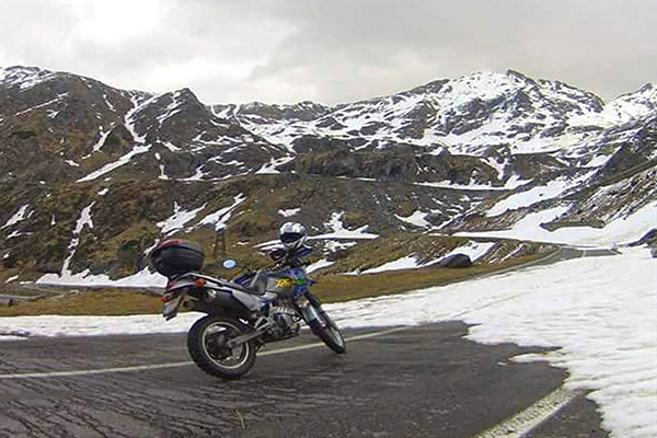
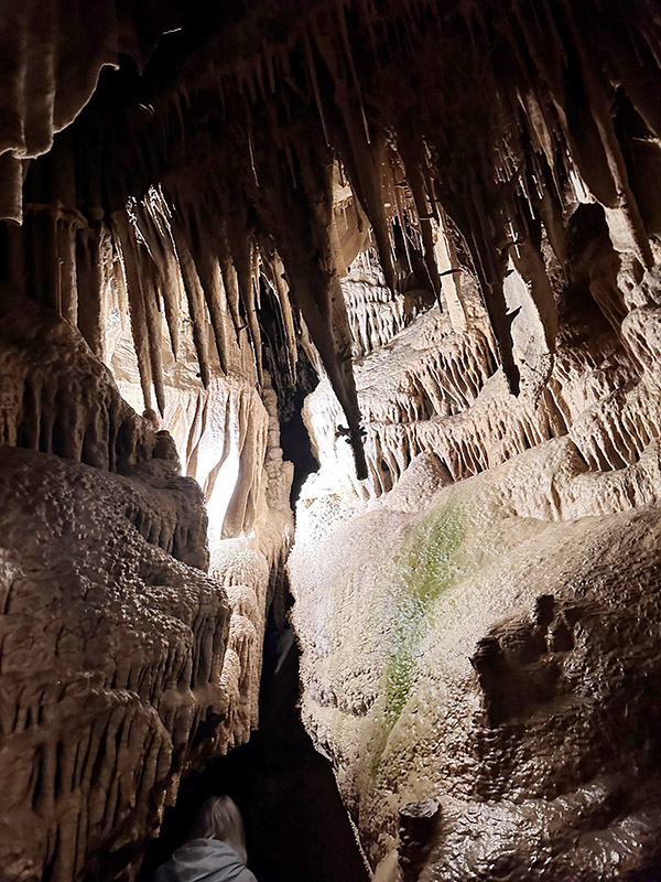
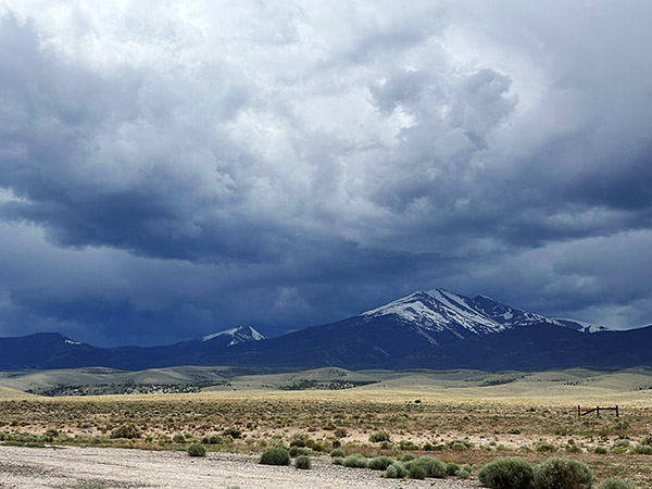
Continuing across more plains, I found myself nearing the turnoff to Baker and the Great Basin National Park, my intended destination for two nights of camping and sightseeing. As I gazed at the mountain, I found an angry and ominous sky with snow-covered peaks that seemed to dare me to face the challenges of reaching its 7700-foot elevation to my destination at Upper Lehman Campground. Rain and lightning accompanied me as I rode into the tiny town of Baker, where I hastily stopped at the Visitor Center to check the weather report and determine how cold it would get during the night. Assured of temperatures above freezing, I pressed onward, rewarded with an epic campsite at Great Basin. Nestled alongside the rushing Lehman River, my campsite offered complete privacy, and I reveled in the wonders of the park over the next two rain-filled days and nights. The Lehman Cave tour was an unforgettable highlight not to be missed. As an avid hiker I loved that I was able to experience an epic 7-mile round trip hike along the mountain following ever upwards along the Lehman River complete with snow covered meadows and towering views of the mountain summit.
During my stay in Baker, Nevada, I discovered two places that I highly recommend. The first is the 489 Grill and Whispering Elms Motel and RV Park, which boasts a bar, RV and tent camping facilities, firewood, and the best burger I have ever tasted. Trust me when I say this is a significant claim, as I am a true burger aficionado. The food is not the only remarkable aspect; the owner and staff are incredibly hospitable, making your visit all the more enjoyable. The second recommendation is the Bristlecone General Store, a quaint establishment offering unique local gifts, an unexpectedly diverse selection of food options given its small size, and a coffee bar serving locally roasted beans by a blind roaster with an extraordinary sense of smell, resulting in a delightful brew devoid of the bitterness found in commercial beans. Among the store’s charms, one staff member named Rachel stood out for her warmth, hospitality, and willingness to share insights about Baker and local hidden gems. I was informed that Sandra’s Food Truck serves excellent and affordable Mexican cuisine—an experience I now eagerly anticipate for my future visits.
Reluctantly bidding farewell to Baker, I rejoined Highway 50, heading towards my next destination, South Lake Tahoe. Contrary to the dire warnings of scarce gas stations, I discovered that this notion was unfounded. Approximately 70 miles down the road, I arrived at Ely, another small mining town with plenty of services. After a quick refuel, I resumed my journey, realizing that the otherwise flat stretches of road were intermittently punctuated by mountain passes exceeding 7000 feet in elevation. These segments offered breathtaking vistas and enough twists and turns to satisfy both Tippi and me.
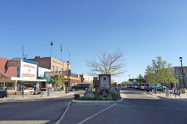
My first mountain pass, before descending into Ely, Nevada, presented an exhilarating ordeal with rain, lightning, and a brief ten-minute ride through hail. Eighty miles further, I found myself in the town of Eureka, where the threatening skies curtailed my exploration time. Nevertheless, I managed to visit a few must-see attractions, including the Opera House, built in 1879, the still-functional Courthouse of the same vintage, and a brief excursion to the town’s cemetery, where a variety of burial sites represented different social organizations, religious groups, and ethnicities. This walk-through history provided a fascinating glimpse into the town’s past.
Continuing on Highway 50, with the ominous skies in my rearview mirrors, I was reminded of the urgency to press on towards my next stop—Austin, NV. This old mining camp retains its rustic charm and has evolved into a haven for camping, hiking, and mountain biking, thanks to its proximity to the towering Toiyabe Mountains. During a pit stop, I encountered a large group of riders following the Pony Express Trail, who praised my adventure, while I vowed to return in the near future to explore that historic route.
Reluctantly bidding farewell to this enchanting mountain town, I embarked on another 112-mile stretch to Fallon, Nevada. This promised a well-deserved lunch break and refueling opportunity before the final leg of my journey to Lake Tahoe. As hunger pangs intensified, I hurriedly pulled into the first gas station I encountered. Curiously, the ground appeared slanted, making it impossible to safely park my bike with its kickstand without an extreme lean. Oddly, as my kickstand tends to be a bit high, I often worry about Tippi toppling over. Trying another station, I realized that my kickstand was not misaligned but broken—a sudden and unfortunate realization. With every ounce of strength, I fought to prevent Tippi’s full weight from pinning me between the gas pump curb and the engine crash bar. As I cried out for help, a kind soul named Caleb rushed to my aid, assisting me in righting Tippi. Examining the kickstand, I conceded that my lunch break was a lost cause. I refueled while seated on my bike and came to terms with the fact that I would have to ride the rest of the way without lunch and with a dangling kickstand, just inches off the ground.
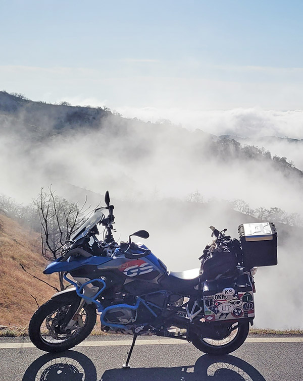
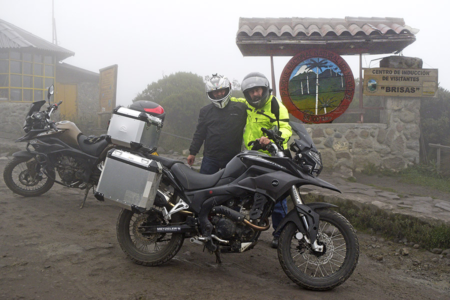
Determined to soldier on, I pushed forward to Carson City, Nevada, before ascending the switchbacks and descending towards Lake Tahoe. The ride and the stunning view of the lake were awe-inspiring. I completed the remaining portion of my day’s journey with ease, covering over 400 miles. A warm hotel bed awaited me after seven nights of camping, and I eagerly anticipated reuniting with my boyfriend, Mike Huber, a fellow adventure rider who also happens to be a badass. I recommend checking out his posts on ExhaustNotes for a combination of insightful rides and outrageous travel stories.
In conclusion, my time on the Loneliest Road in America was an unforgettable experience. Despite the dire warnings I received, I found this historic stretch of highway to be well worth the ride. Contrary to popular belief, there are plenty of services available along the route, and the road itself is intermittently adorned with scenic mountain passes. The friendly locals and the sense of freedom that permeates this lightly traveled road are rare treasures that I seldom encounter. If you’re seeking a unique journey through the American West, I wholeheartedly recommend venturing onto the Loneliest Road in America.
Don’t forget to help bring content to you: Please click on the popup ads!
Never miss an ExNotes blog:


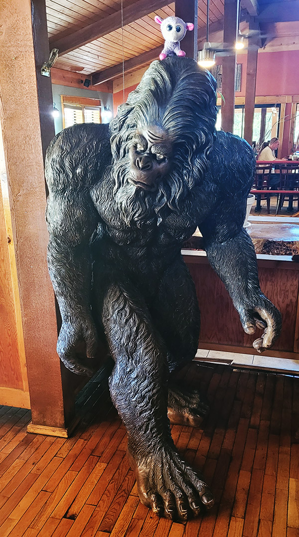 I was excited to ride this portion of northern California but didn’t expect to be that impressed with the Triumph. Previously having test rode several Triumphs I was familiar with them. They are wonderful machines but they never really spoke to me or my riding style, so I steered towards Ducati or BMW. However, one of my favorite guitar players, Billy Duffy (from the band The Cult) is a HUGE Triumph rider. I had the pleasure of meeting him last November and being semi star struck. All I could mutter was “I am sorry I ride a BMW GS, but my girlfriend rides a Triumph, and oh yeah…you’re an incredible guitarist.” I guess there have been worse encounters with celebrities than that. He high fived me, we shook hands, and we had a laugh over my awkwardness (more him than myself I am sure). Anyway, back to the Triumph Tiger and Sasquatch hunting along Route 299.