There are needs and there are wants. I don’t need a Subaru WRX, but I sure want one. I had my Outback in for service the other day, and the Subie dealer had a bright tangerine WRX on the showroom floor (Subie calls the color Solar Orange Pearl). Those cars are fast and appealing and I was all over it. I don’t need another car. But I sure want the WRX you see above. I’d name it Il Tangerino.
Susie and I bought a new WRX in 2006 and it was one of the best and most fun cars we ever owned. We did a lot of great trips in that car. It had an automatic transmission (unusual for the WRX) and it was just a hoot to drive. It felt like a supercharged go kart, which in a way it sort of was. Turbocharged, anyway. It would go like a bat out of hell and one time when passing a long string of cars heading north on the 395, I looked down and saw I was doing a cool 140 mph. It was effortless. Like I said, these cars are fast.
I like the orange color. I had an orange Subie CrossTrek and my friends teased me about its bright orange paint. Laugh all you want. The CrossTrek was a good looking car and it was easy to find in a parking lot.
I first drove a WRX when good buddy Tom tossed me the keys to his WRX when we were hanging around Bob Brown’s BMW dealership. Marty and I took it out for a spin, it was fast, and that ride was all it took. I bought the blue one you see above a short while later.
Most WRX Subies have manual transmissions. Those are okay, but I’m a bit more mature now and I prefer an automatic. Sit in California traffic a while and you will, too.
I asked the sales guy at the Subie dealership what this one would go for and after the standard line of dealer crap (including the when are you going to buy, how much are you willing to offer, etc….I do love dealers and their sales people), he finally showed me their invoice. The bottom line is that this Subie would go for something slightly north of $32,000, not counting taxes and other fees.
My first thought was that $32K is not a bad price for a car like this (I recently read in the Wall Street Journal that the average price for a new GM car is right at $50K today). The Subie you see here has a 2.4-liter engine and a turbocharger. You’re supposed to run premium fuel and here in the Peoples Republik premium is running north of $5 per gallon. so that’s probably a deal killer. But like I said at the start of this blog, there’s needs and there’s wants. I don’t need a new WRX, but I sure want this one. If enough of our readers click on the popup ads…who knows?
Never miss an ExNotes blog:
Help us bring more content to you…please click on the popup ads!
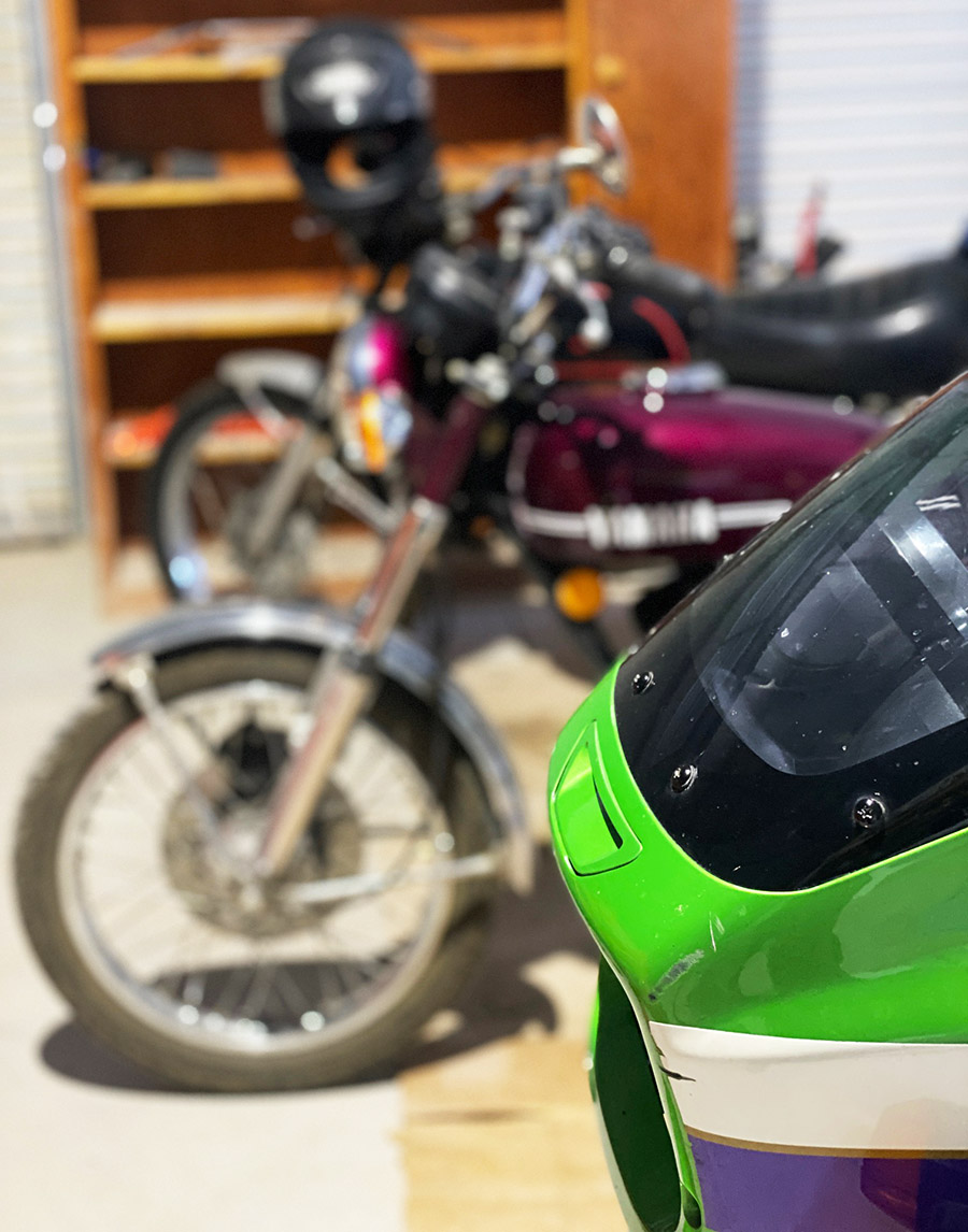
The Carrizozo Mudchuckers have too much disposable income. Just in the last few months they’ve bought a Husaberg 400, a gas-in-frame Buell, a KTM 890, and a Kawasaki Vulcan 750. The boys want to do some high speed touring, like going to the Sacramento mile in California, and they are talking 500-mile days in the saddle. As I look over my operational motorcycles I don’t see anything I’d like to sit on for 500 miles. But if I include the non-ops there is one that is capable of reeling off 500 miles without breaking a sweat.
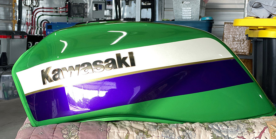
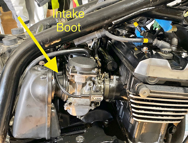
I’m talking about the long dormant Kawasaki ZRX1100. The bike is a road burner of the highest order and looks cool as hell to boot. The only problem is the ZRX has sat for 9 years as CT and I wandered the world. Nothing on the thing works. The last time I rode the bike was on the Christmas toy run in the Florida Keys in 2014. It’s time I changed that.
This resurrection might take a while because I’m knee deep in concrete projects but at least I can start ordering parts as my Social Security checks roll in. I’m starting with the brake systems and forks. The front brakes on the Rex are 6-piston jobs and there are two calipers which means I have to deal with 12 pistons. The brakes are great on the Kawasaki but 12 pistons are a bit much.
Both master cylinders are frozen, probably full of crystalized brake fluid. I’m going to try and get away with cleaning up the master cylinders as I have not been impressed with the quality of aftermarket junk and I don’t feel like looking up a bunch of part numbers on the Kawasaki sites. I mostly stop with the front brake anyway; hopefully that master will be in good shape. A failure of the rear brake won’t slow me down…that doesn’t sound right.
I will rebuild the rear caliper using new seals. Don’t try to follow the logic. In addition, the fork seals need replacing and new fork oil dumped in. I might take a stab at greasing the steering head bearings while the front end is apart.
Due to its long slumber there are many, many issues with the ZRX, like:
Cooling system leaks, probably from the water pump
Broken throttle cable at twist grip housing
Chain is worn out
Carbs are gummed up
Gas tank is full of smelly, gooey gasoline
Clutch lever is frozen
Clutch slave cylinder is leaking
Battery is not there
Valves need adjusting
And I’m sure other things will crop up as I get into the project.
I’ve really let this bike down. Believe me, I feel bad about it. Nine years of neglect have taken a huge toll on anything rubber. The good thing is the Rex has relatively low miles (25,000) and has never gone under water so I’ve got good bones to work with. The paintwork is mostly perfect and there are no dents. The bike will clean up and be a stunner. I rode the ZRX from Florida to New Mexico years ago and it will be bookoo-maximus karma if New Mexico is the place where the ZRX1100 rises up to snarl across the rust-red landscape again. Watch this space for updates.
In 2019 we booked a campsite at Chaco Canyon in northern New Mexico. Chaco Canyon was a fairly large Native American city that served as the capital for the Chaco people a thousand years ago. Strung out along the canyon within walking distance of each other there are several large, condominium-style structures, some reaching 5 stories high and all of them with courtyards, living areas, kivas, and storage rooms. The condos were built with fantastically intricate stonework consisting of millions of large and small stones. Chaco society was well organized and their mathematics and architectural engineering were well advanced, as it would need to be in order to produce such big, complex buildings.
Also in 2019 the plague hit and Chaco Canyon was closed to visitors, so we never made it to the campground. The same thing happened in 2020, so we missed Chaco that year and instead spent our time arguing on the Internet about masks and vaccines with medically-trained basement dwellers. In 2021 we had a reserved campsite near the cliffs of the canyon and not long before we were due to arrive the cliff calved, covering our campsite with boulders. The campground was closed in order to clean up the rubble. The section where we were booked is still closed.
In 2022 we again called the ranger station at Chaco Canyon and reserved a site. All looked well in 2022 but a day or two before we were to leave CT came down with a nasty cold and we decided camping would be no fun with one of us sick in bed. Reluctantly, we cancelled our reservations yet again. Our efforts to see Chaco Canyon seemed cursed. We decided to try again in 2023 and figured March would be a good time to go. We wanted to avoid the hot summer months. Building up to March everything was going swimmingly; this would be the year we finally made it to the historic Native American site.
And then the rain started. We watched the weather reports coming in from Chaco Canyon: rain, snow, hail. It rained at Chaco Canyon every day the week before we were to go. All roads leading to Chaco Canyon involve quite a few miles of dirt. The rougher, south entrance to the canyon was closed due to the muddy road being impassable. We didn’t care: we were going to Chaco even if we drowned in mud. Farmington was our staging area for the camping expedition and we drove in spotty rain all day to get there. Turning north out of Albuquerque on Highway 550 we stopped for gas. While I was filling the gas tank it started snowing. Then the wind picked up to a brisk gale. The last 50 miles to Farmington were in a drizzly rain mixed with sleet. We made it to our motel where it rained all night long. The normally well-maintained north entrance road to Chaco Canyon was starting to look a bit iffy.
The next day was overcast and rain threatened, but the morning was drama free with only a light dusting of snow on our way to the entrance to Chaco. If you’re going to visit Chaco Canyon you’ll no doubt read horror stories about how rough the road is leading to the canyon. Keep in mind the people fretting about the road are driving giant RVs held together with staples and chewing gum. You may lose a kitchen cabinet or an ill-considered propane tank. If you are driving a car or truck you’ll be fine. Unless it has rained five days straight before you arrived.
Turning off Highway 550, the first 8 miles to Chaco Canyon are paved and then the road turns into wide, graded dirt. This section was very muddy and CT put her Jeep in 4-wheel low and locked the front and rear differentials. She couldn’t go very fast because the Jeep wanted to spin into the ditch at the slightest sign of ham-fisted steering. Down hills were exciting; the Jeep kind of drifted to the bottom in a semi-controlled slide. The mud wasn’t deep, only a few inches, but it was like driving on ice covered with ball bearings and oil.
We saw two other vehicles on our 23-mile ride and one of them was stuck in a ditch. CT is a big believer in recovery gear so she has straps and chains onboard at all times. Unfortunately this means we have to stop and help people who get stuck in a mud bog. The guy was so glad to see us. We came to a gentle stop 30 feet past the deepest part of the mud hole. “You got a rope?” I asked Mr. Stucky.
“No I sure don’t,” he said. I gave a dejected look at the mud.
“Do you guys have anything we can use?” he asked.
“Yeah, we got something.” I stepped into the mud and pulled CT’s clean ARB tow strap out of its clean zipper case.
“I think if you can pull me back onto the road I’ll be ok. I was going too fast and spun out.”
I was only half listening to Stucky. All I could think of was that this means we have to get CT’s ARB tow strap muddy with this sticky goo and then I’ll have to clean it later.
Walking was hard due to the mud sticking to our boots and the slipperiness, but we managed to connect our nice, clean, tow strap to Stucky’s SUV and pulled his rig backwards towards a less muddy area. Stucky’s mini SUV didn’t want to leave the ditch and it crabbed along spinning wheels and slinging mud for 100 feet before it popped out of the rut and onto what passed for the road. I started to wind up the tow strap when Stucky, sensing my disappointment, said, “Here, let me get that. No need for you to get any muddier.” I was muddy already, but I handed Stucky the strap. I wanted him to feel like he had a stake in not getting stuck again. As Stucky coiled the ARB tow strap mud oozed between each wrap. We were only a few miles to the campground from this point.
Once you make it to Chaco Canyon the roads are paved so we had no trouble finding the ranger station or our campsite. The place was nearly deserted. Stucky’s little teardrop trailer was the only other camper at Chaco that day. Fast moving clouds scudded from west to east bringing alternate periods of sunshine, snow, rain and hail. During a sunny spell we set our Campros tent up on the nice, raised tent platforms provided to each camping spot. The raised tent spots are built from pressure treated 8×8 beams laid out in a square totaling 14 feet by 14 feet. The squares were filled with nice, soft dirt and we were damn near glamping, you know? I guess if I were more observant, the tie down clevises screwed into the pressure treated lumber would have given me a hint about wind speeds in Chaco Canyon.
We watched the looping, 15-minute Chaco Canyon video at the ranger station’s little movie theater and then decided to set up and get our junk sorted out. It was windy and cold but we had plenty of warm clothing to wear. CT brought along 6 jackets, 7 hats, and 3 duffle bags full of thermal underwear. The tent was heaving and snapping; it took two people to hold it still long enough to assemble the thing. The temperature started dropping as soon as the sun went down. A campfire was out of the question in this wind so we made our bed, ate a little cold-cut snack for dinner, drank hot, Dancing Goats coffee and sat at opposite sides of the tent holding the corners down.
Moving all the heavy gear to the perimeter of the Campros tent seemed to keep it from blowing over. We were able to snuggle together in the sleeping bag and kept from freezing, which was the whole reason I wanted to go camping with CT in the first place. We saw 27 degrees that night and the wind never stopped blowing. The next day was slightly warmer and the sun was peeking out from the clouds, but it was even windier.
Due to the weather all the ranger presentations were cancelled. We signed up for a Chaco tour led by a Navajo business called Navajo Tours USA. We used these guys before at the Bisti Badlands and they are great fun. The tour started at 10 a.m. and we went to each condominium and wandered around while our guide told us about the different stone patterns and construction details of the buildings. Usually Chaco great houses have a basement level and many of the places we were walking had filled in with dust and sand over the preceding thousand years.
Above the basement there were three or four stories. Each level was accessed by a ladder from the level below. This system continued on until you reached the roof. The floors were made from large wood beams, called vigas in Spanish. Over the beams were placed smaller sticks and an adobe floor. The vigas hauled to Chaco came from the mountains many miles away. I figure there must have been some sort of money or economy that would have allowed workers to drag those beams and still be able to sustain a living wage.
The walls of the condos were fairly thick. Starting at the bottom the walls were three feet thick or more. The walls tapered as they rose, becoming thinner floor-by-floor. Top-floor walls might only be one foot thick. Originally, the inner walls were plastered smooth with some sort of lime coating. In a few spots you could still see the factory stucco. There were windows that let light into the rooms. Inner rooms were dark but they had openings that aligned with outer windows that allowed outside light to penetrate several rooms deep. The outside windows had wooden shutters for winter use.
The winds, strong already, were picking up and at times you’d be blown off balance. Each gust brought a stinging blast of sand and my eyes were getting full of grit. The Chaco people situated their buildings according to astronomical events. Usually one long, straight wall aligned with the rising sun at the solstices. Sometimes the wall pointed towards a particular star. The building was a giant calendar.
There is a lot more to the Chaco culture, the long, straight roads they built, where their food came from, and why the city was abandoned after only a few hundred years, but it was late in the afternoon and getting colder. The wind was so strong I couldn’t hear our guide very well. Light hail was falling and wisps of snowflakes juked and stutter stepped in the air. As much as I enjoyed the lecture I was glad when it was over. I like it outside but there is such a thing as too much outdoors. We went back to the campsite to have a little hot tea.
Camp was a disaster. Our Campros tent looked like a downed weather balloon. Tent poles had broken, stakes were pulled out and the rain fly was detached and flapping in the breeze. Inside the tent everything was covered in dirt blown in through the screened roof. We tried to get the tent propped back up but when I pulled on it things started ripping. We managed to get the rain fly back over the wreckage and placed large boulders on the corners to hold it in place. It was snowing again. There was nothing to be done with the wind blowing so we went to the ranger station and loitered. I bought a ceramic coffee cup with a Chao Canyon logo; it was good to be out of the wind.
By 7 p.m. the wind eased up a little and we went back to camp to try to salvage what we could. Our first chore was emptying the Jeep before it got dark. The idea being if we couldn’t fix the tent we could retreat to the Jeep and sleep in the back. Sure it would be cramped but at least we had a heater in the car. And the car wouldn’t blow over. Maybe.
We managed to get the tent propped back up with the short, broken poles. The short poles made every other dimension wrong. The main ridge pole had a huge S curve and there were wrinkles all over the place. It wasn’t a thing of beauty. Besides the broken poles, the upwind corners were ripped where the tent stake loops attach. We propped heavy stuff in those corners to hold the tent’s shape. Next we cleaned up all the sand as best we could and finally got organized enough to have another cold dinner and hot coffee. A campfire was out of the question because neither of us wanted to bother. In retrospect, when we left that morning we should have lowered the tent and placed rocks on the rain fly to hold it down. I believe it would have survived without a problem. I have no gripe against the tent: it went through a hurricane.
The jury-rigged tent stayed up all night long and by morning the sun was out and it was a relatively warm 40 degrees. Blue sky shined in through our open tent door and the wind was a gentle breeze. If our reservations were made just two days later we would have had a totally different feel for Chaco Canyon. It would have been nice Chaco Canyon instead of mean Chaco Canyon. The muddy road had dried up and was now passable by standard automobile. The campground started filling up as we packed our gear. Old Joe would have folded up the battered tent with the broken poles and torn corners, taken it home and stored it for 43 years thinking he was going to fix it one day. New Joe tossed it in the dumpster.
Those long-ago Chaco people had it much better in their thick stone buildings. Maybe the climate was different then, but I suspect not that much different. And it was an unusual weather pattern that saw all the other campers cancel their reservations leaving only Stucky, his dog and us in the entire joint. The campgrounds were nice with clean bathrooms, flush toilets and heat, but no showers. We never did get to see all the buildings because it was so windy and cold. CT and I want to back to Chaco Canyon and explore more but maybe next time we’ll go when the weather is more clement.
Never miss an ExNotes blog:
You know what to do: Please click on the popup ads!
Arizona’s Sedona area offers fantastic hiking. This blog describes three of my favorites.
Bear Mountain Trail
Bear Mountain provides fantastic red rock views. The start of the trail is at about 4600 feet in elevation from the parking lot. At the final summit, the elevation reaches 6150 feet. At the summit of Bear Mountain, you can see the San Francisco Peaks in Flagstaff, views of Bell Rock in the Village of Oak Creek, Verde Valley, peaks of Sycamore Canyon, and all West Sedona.
A warm spring day found me on the Bear Mountain Trail with a new friend I met during a Sedona Meet Up Hiking event. Linda is from New Jersey and is an avid outdoorswoman, hiker, and yoga devotee. I enjoyed Linda’s company as we marveled at the views and shared about our lives, family, and career paths.
I was happy that the Bear Mountain Trail DID NOT kick me in the behind. A challenging hike with an 1800 ft gain over the course of 3 levels of summits. This is a designated wilderness area, so there aren’t any trail markers once you enter the designated area. Watch for trail markings carefully and pay attention, as you will encounter several false summits before reaching the peak. Views along the way revealed stunning red rock slot canyons and an area resembling a mini Grand Canyon. This is a steep trail with some rock scrambling. Please pay attention to the trail, as it is easy to get off track. 2 liters of water is the minimum recommended for this strenuous hike, more on a hot day. A hat and walking poles are also very helpful.
This hike is advanced and difficult. You should be prepared with proper footwear, water, food, and layers of clothes.
Sugarloaf to Lizard Head to Chuck Wagon to Brins Mesa, returning via Jordan Trail
Sunday morning started with a chill in the air and an overcast sky. I postponed getting out of bed and decided on another cup of coffee; my favorite, extra dark roast made strong enough to curl your hair worked its magic as I continued to procrastinate a few moments longer with a leisurely read of the Sunday paper. My hiking shoes waited anxiously beside my bed for the impending long hike. Not sure if it was the regret of a wasted Sunday or the sudden clearing of the clouds, whatever it was, I surrendered, dumped the remainder of my brew, got the hiking shoes on, and headed out the front door.
My goal was to try out Day 1 of a planned 3-day hike in Sedona and the Village of Oak Creek. I headed to the Sugarloaf Trailhead catching the Andante trail over to Chimney Rock Saddle to connect to the Lizard Head trail. This is where I was momentarily lost. OK, not momentarily lost… but I could not locate the %&# trail for about an hour! Man, talk about the embarrassment of getting lost in my backyard!
After bushwhacking and following a new chain-link fence, I found Lizard Head and started the ascent. Within a half hour, I was high up on the side of the mountain, and sure, I was too high for this trail. Thank goodness for cell phones and a call to my friend Doug, the master of all things related to Sedona trails, who knew exactly where I was and assured me I only needed to butt-scoot down the rocks about 100 ft and begin my descent to the bottom of the trail. He was dead on!
Besides my inability to navigate easy-to-locate trails in my backyard, I did not care for this section due to road noise off Dry Creek Rd. This, however, was short-lived as Lizard Head connected to Chuck Wagon trailhead with a lovely new picnic area, maps, and toilets. A fast rest and lunch, and I was back on the Chuck Wagon trail heading to the Brins Mesa trail. Chuck Wagon trail meanders through open vistas and dry gullies with views over Boynton and Secret Canyon. A wonderfully easy trail with outstanding red rock views. By 3 pm, I was at the trailhead of Brins Mesa with the much-needed forest to cool me off. Brins Mesa is always my favorite. Not sure why; perhaps it is the rebirth after the fire of 2006 or the feeling of others that have walked this Mesa for hundreds of years. Whatever the reason, I had a surge of endorphins firing off in my brain, and I was in complete bliss despite a longer-than-expected day of hiking and a start of a dreaded blister on my little toe.
After an enjoyable day of hiking, one might think that nothing could top it. However, heading to the Oak Creek Brewery from the Jordan trailhead for a delicious hotdog and refreshing beer further elevated my experience in Red Rock Country. Spending a Sunday in this manner gives a new meaning to Sunday Funday!
This 12-mile hike is moderate difficulty. Bring plenty of water.
West Fork Trail in Oak Creek Canyon
The West Fork Trail is a moderate hiking trail known for its picturesque views of the red rock canyons and the crystal-clear waters of Oak Creek. The out-and-back trail follows the creek for about 6.4 miles and takes around 2 to 4 hours to complete. It is suitable for hikers of all levels, including families with children. Hikers should wear appropriate gear and bring plenty of water and snacks. You will make numerous water crossings and find that water shoes make the trail more manageable; check the weather forecast for storms and potential flooding.
My morning could not have been more perfect. Hot coffee served bedside, the sun shining brightly, two soft-boiled eggs just the way I like them, and an 8 am date with Elaine to hike the Oak Creek Canyon.
What I did not expect was to hit the famed West Fork Trail at the perfect date and time to see our Arizona fall leaves at the most glorious time of year. The morning light was enchanting as it filtered into the canyon, backlighting the trees and setting the red rock cliffs glowing with burnt orange with soft buttery yellows and rust red. Childhood joy resurfaced as we worked our way back and forth across Oak Creek; with each turn along the trail, nature revealed yet another excellent view of the Canyon.
It is difficult to describe this trail’s beauty in the fall. The experience goes beyond language; one must turn inward and fully immerse themselves in the earth’s magic beneath their feet. The power of the running creek and the ever-changing red rocks add to the enchantment of the surroundings, creating a truly indescribable experience. The company was as wonderful as the views along this hike. It was so nice to have some Elaine time and, for a moment, remember what it is like to be removed far from our hectic busy lives and reacquaint with an old friend in an enchanted setting such as this.
Be prepared to face water crossings.
Sedona and the surrounding areas have an abundance of hiking opportunities. Thirty-seven years of living in this Red Rock paradise, and I still have hikes on my list yet to be explored. If you are planning a trip to Sedona, consider using All-Trails and stopping by the Forest Service office for up-to-date restrictions and trail conditions. If hiking is what gets your mojo on, then Sedona will not disappoint!
Never heard of Antoni Gaudi, the man who designed Barcelona’s La Sagrada Família Basilica? Don’t feel bad; I had never heard of him, either. His work is the wildest architecture I’ve ever seen…think Dr. Suess meets George Lucas, except this guy predates both.
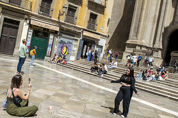
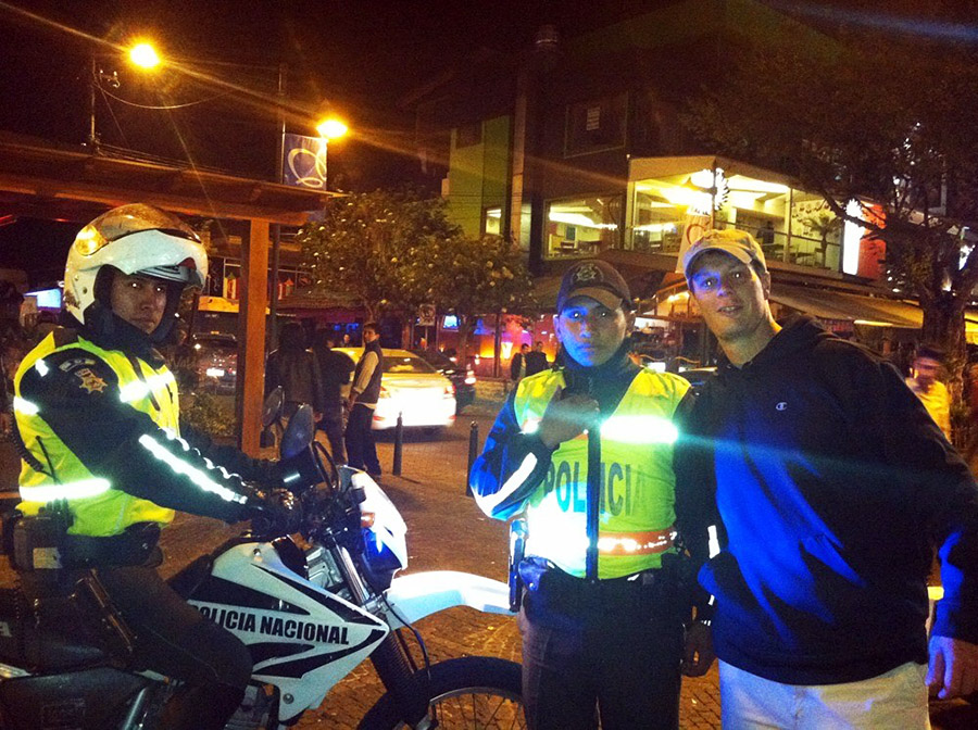
How about scooter-borne motor officers? Scooters and small motorcycles make way more sense than the gigondo police bikes we use here in the US. The photo below shows a Policia moto cop we watched roll up on criminal activity (0utside a cathedral, no less), and the bad guys simply evaporated.
Enjoy majestic cathedrals and stained glass? Hey, there’s a lot of that coming your way, too. We were in so many cathedrals I had to check the itinerary just to get my photos organized.
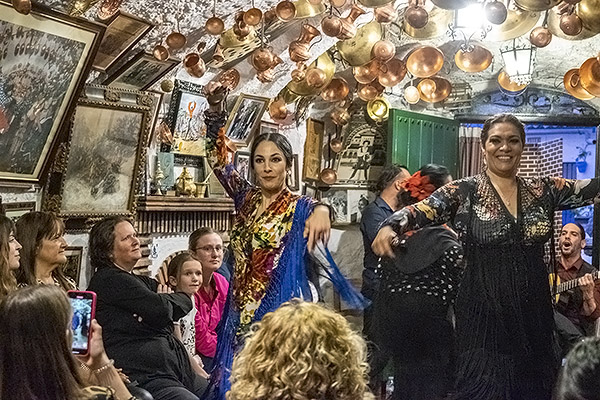
Did I mention the Flamenco dancers? Here’s another teaser.
Take my word on this: If you enjoy photography and motorcycling, fine dining, good wine, beautiful people, and the good life, Spain and Portugal are tough to beat.
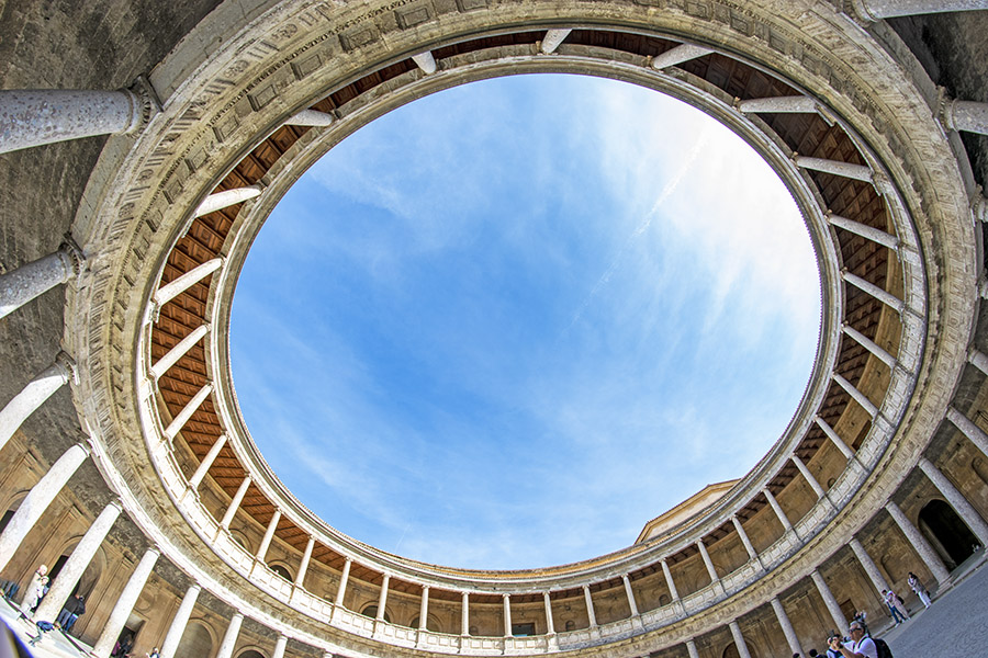
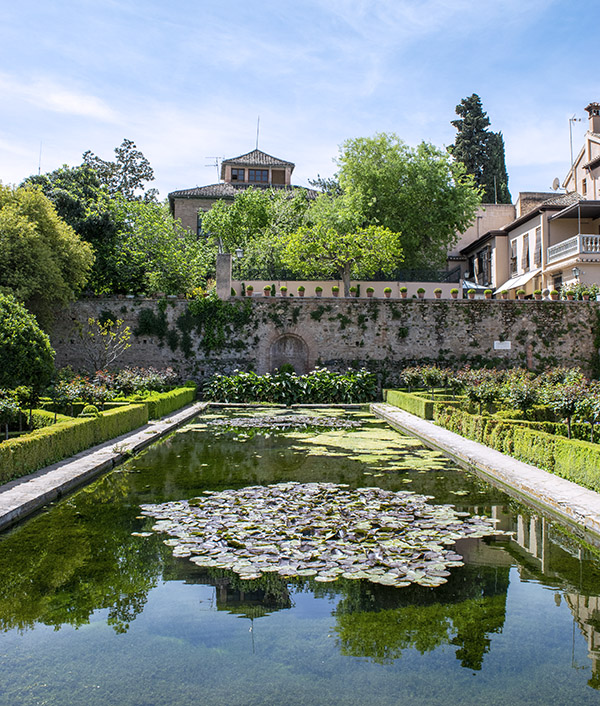
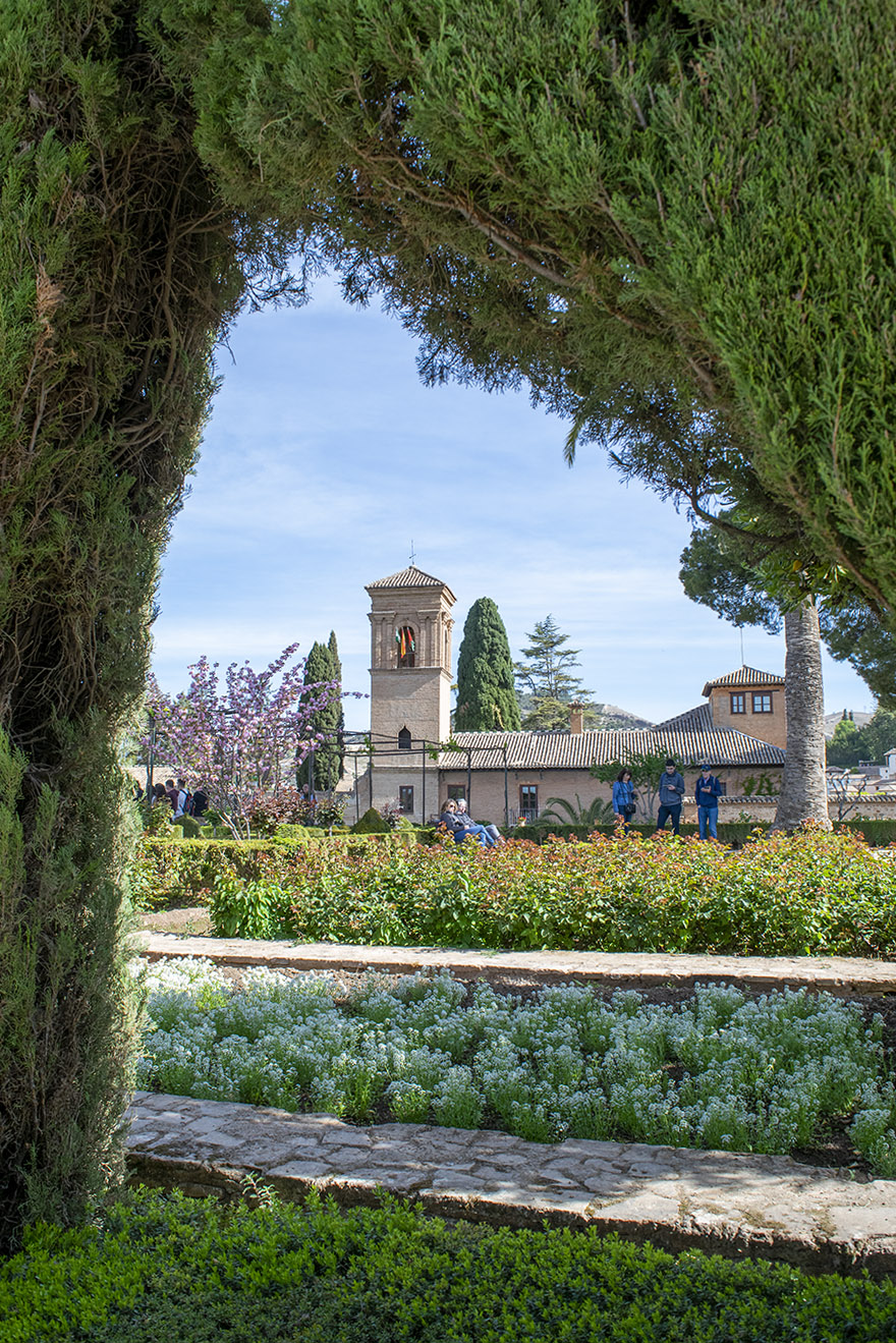
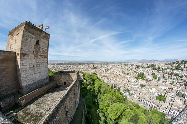
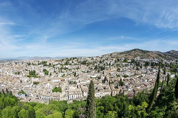
Sue and I just returned from a couple of weeks over there and it was awesome. I left the big Nikon at home and carried a much lighter D3300 Nikon (the same one I used on the China, Colombia, and Baja rides), and life was a lot easier. The photos are about as good as those I get with the boat anchor D810 and I minimized the wear and tear on me (I’m so spring chicken, you know). I took three lenses with me: the 18-55 kit lens that came with the camera, an inexpensive and lightweight Rokinon 8mm fisheye (using it required manual everything, as it doesn’t interface with the D3300’s auto focusing and metering capabilities), and a very sharp Nikon 35mm f1.8. Even though the 35mm Nikon lens was the best in the bag, I never put it on the camera. I used the 18-55mm for the bulk of my shots (it was easy to use and I think it did a good job) and the 8mm fisheye for just a few (like that big photo in the Gaudi basilica at the top of this blog).
There’s more content in the ExNotes queue on our visit to the Iberian Peninsula, with a little bit of moto content in each.
The Dingle Way is a 112-mile-long walking trail that circles the Dingle Peninsula in County Kerry, Ireland. The trail takes walkers through diverse landscapes, including rugged coastlines, sandy beaches, rolling hills, and picturesque villages. Along the way, walkers can enjoy stunning views of the Atlantic Ocean and ancient archaeological sites and historic landmarks, such as the Gallarus Oratory, a well-preserved early Christian church dating back to the 7th or 8th century. I previously wrote about the first part of this trip; you can read that blog here. This blog completes the trip.
Day 3: Inch Strand to Dingle
After a filling Irish breakfast at Inch Strand, I embarked on my journey, following trails and secondary roads that provided stunning bay views. As I turned inland towards Annascaul, I continued along more secondary roads that eventually led me to a rocky beach and castle. The scenery along the way was breathtaking, and I frequently stopped to soak in the beauty of my surroundings. Leaving the beach behind, it was just a few miles to Lispole before arriving at the day’s final destination in the town of Dingle. As I approached the village, I was struck by how small and easy it was to navigate on foot. Music could be heard at every turn, and the town was bustling with activity. The shops were fantastic; it was a great place to restock and prepare for the remainder of the trail.
One of the highlights of my stay in Dingle was visiting Dick Mack’s Pub. As a whiskey lover, I was thrilled to discover that the pub was known for its extensive Irish whiskey collection. The bartenders were incredibly knowledgeable and passionate about the spirits, and I spent a delightful evening sampling various types of whiskey and learning about their unique flavors, meeting locals, and developing the start of some new friendships.
For those interested in live music, Dingle is a great destination. Just pop your head into any pub, and you’ll likely find Ireland’s version of Nashville, with hundreds of talented musicians on every corner. One of my favorite spots was the Courthouse Pub, a tiny establishment with an impossibly low ceiling, friendly staff, and some of the best music in Dingle.
Day 4: Dingle to Dunquin
This was the hardest day of the trail so far, with a 14-mile trek that started by departing Dingle and heading to Ventry. The first four miles were relatively easy, except that the surface was entirely hard, making it quite taxing. In Ventry, I found a small post office with a combination grocery store, and I took a nice break to restock and meet some very kind local ladies hosting a fundraiser for hospice care. The locals had baked their best desserts for the event and invited me to join in, and I couldn’t resist the temptation of the delicious treats.
As soon as I left Ventry, I was treated to a beautiful long beach walk to the other side of the bay. Schoolchildren were busy cleaning the beach, and locals walked along the shore, enjoying some sunshine. Next up was a bit of road walking along Sledge Drive, with dramatic sea views before turning to Mount Eagle. The climb was tough, taking several hours through sheep pastures and offering dramatic sea views.
The trail was wet, uneven, and a real thigh workout, but the day was as lovely and magical as possible. It’s hard to describe the uniqueness of walking through a new land – the way the vista unfolds before you, the smell of the earth, the local bakery, the scent of livestock, and the chance to witness the locals going about their daily lives. You experience a level of intimacy that cannot be duplicated by any other mode of transportation other than your own two feet.
Besides the breathtaking views and walking along ancient stone walls, I saw many Beehive ruins and ancient dwellings from the 9th century. About when I thought I couldn’t go uphill anymore, the trail took a steep decline down to the road and the start of the entry to Dunquin. I stopped for coffee and continued another two miles on the hard road to the Youth Hostel and the exceptionally kind host who took great care of her guests. Another great day!
Day 5, 6, and 7: Dunquin to Ballydavid and Kilcummin
The following day, my friend Patrick generously offered to drive me back to the trailhead for my hike over the pass of Mt. Brandon. Despite the less-than-ideal weather conditions and concerns from locals about my solo hike, I assured them that I would turn back if the fog worsened. Nonetheless, as I gazed upon the climb ahead of me, I couldn’t help but feel a moment of nervousness.
The hike to the top of Mt. Brandon was a challenging 3.5-mile ascent, with no switchbacks and only soggy, boggy, and uneven terrain underfoot. The descent was equally difficult, with even less stable footing. It wasn’t until I reached the 6-mile mark that I could finally walk on a dirt, mud-filled road and breathe a sigh of relief.
This day was significant to me, as I had set out to summit Mt. Brandon in honor of my nephew. Despite the thick fog that prevented me from reaching the peak, I made it to the saddle, with the peak looming above me. Looking back at the mountain while standing on that muddy road, I witnessed a moment of awe-inspiring magic. The fog slowly crept down the mountain, lifting to the heavens and spreading its fingers across the valley floor. It felt like a blessing, a gift I didn’t deserve but received nonetheless.
At that moment, I realized that reaching the peak wasn’t as important as the day of remembrance I had dedicated to my nephew. I knew Brandon would have been proud, and I felt grateful for the time I had shared with him. I had promised to honor his love for the outdoors, his welcoming spirit toward everyone he met, and his devotion to his family. The day had been physically and emotionally draining, but it was a perfect day I will never forget. To my dear Brandon, the boy who will forever live in my heart, I raise a glass and say, Sláinte.
Entering the town of Brandon, I stumbled into a bar and enjoyed a delicious meal of homemade soup and bread with a pint of Guinness and a shot of Green Spot to revive and celebrate my hard passage. The café was warm and welcoming, and the owners were friendly and eager to chat about the beauty and challenges of the trail.
Following a satisfying lunch, I continued my journey, passing through more rolling hills, herds of sheep, and farmland until I reached the charming village of Kilcummin. As I approached, I was treated again to awe-inspiring views of the Dingle Peninsula and the vast expanse of the Atlantic Ocean. Fortunately, I found the perfect B&B, a lovely farmhouse in the countryside’s heart. The hosts were warm and welcoming, and I enjoyed a peaceful and restful night’s sleep after a long day of hiking.
Day 8: Kilcummin to Tralee
The week had passed quickly, and I was both sad and excited to confront my final day on the Dingle Way. The day brought plenty of sunshine and was a relatively easy one, with just over 8 miles of walking to the town of Tralee. The trail took us through more picturesque countryside, with fields of sheep and cows grazing lazily in the sunshine.
Passing through the village of Castlemaine, which is famous for its links to the legendary outlaw, Daniel O’Connell. O’Connell was a lawyer and politician who fought for Catholic emancipation in Ireland in the 19th century, and he was a hero to many Irish people. Castlemaine is also home to a small museum dedicated to the area’s history.
Approaching Tralee, you could see the town’s famous landmark, the Rose of Tralee statue, dedicated to the same name’s song. The statue depicts a young woman holding a rose, and it is a popular spot for tourists to take photos. What a wonderful end to the Dingle Way trail with an afternoon exploring Tralee by spending time exploring the town’s shops, restaurants, and museums. Tralee is a bustling town with a rich history and worth much time exploring.
Conclusion
The Dingle Way is a truly magical experience, offering breathtaking views, fascinating history, and the chance to connect profoundly with the natural world. From the windswept beaches of Inch Strand to the rolling hills of Kilcummin, the pure joy to be found in the town of Dingle, the trail takes you on a journey through some of Ireland’s most stunning landscapes.
Along the way, I met countless friendly locals who took me instantly in as one of their own with legendary hospitality that is well deserved and a balm to the heart of an American. Take your time to enjoy delicious food and drink. Lean into the culture and history of the Dingle Peninsula. The trail is sometimes challenging, but the rewards and friendships made along the way are more than worth it.
About 30 years ago I cranked 1070 miles in one day on a Harley Softail coming home from Mexico (and that was on an older Softail without the rubber mounted engine…it’s the one you see in the photo above). I was younger and I could ride, as they say, like the wind. A couple of weeks ago, I did a 250-mile day ride on my Enfield and it about wiped me out.
Gresh and I were talking about this recently, and I thought I would share my thoughts on how many miles you can plan on covering in a day. Maybe it will influence your planning. Maybe not. We get paid the same either way.
1: Age
Like I said above, big miles used to be no big deal for me. That’s not the case any more. After substantial scientific study and close observation of my geezer buddies over many decades, I developed a graph showing the relationship between age and how many miles you can reasonably ride in a day.
Like it or not, when we get older, it gets harder to rack up big miles. Serious scientific study went into the above, so if you want to debate our conclusions, bring facts. We want to hear them.
2: Weather
Weather plays a big role in how many miles you can ride in a single day, and here at ExNotes we rely heavily on our weather rock before leaving on any ride. You’ve probably heard about weather rocks. We sell weather rocks here on ExNotes and they are conveniently sized to fit into a tank bag. They work like this…you hang the rock from any available support (you have to supply your own string and support). Here’s how to interpret your weather rock:
If the rock is wet, it means it’s raining and you should reduce however many miles you had planned to ride by half.
If the rock is swinging, it means it’s windy that day, and you should reduce your miles by maybe a third.
If the rock is hot to the touch, it means the temperature is elevated, and you should reduce your miles by maybe a third. Maybe even more.
If the rock is cold, it means it’s cold, and you probably can ride as long as you dress appropriately. If the rock is really, really cold, though, maybe you should stay home. If there’s ice on the rock, you definitely should stay home.
ExNotes offers weather rocks in brand-specific models:
If you ride a Harley, we offer chrome weather rocks for $395, chrome with conchos and black leather fringe weather rocks for $495, and chrome, conchos, fringe, and matching do rag weather rocks for $595 (freight and setup fees not included).
If you ride a BMW, we offer the GS weather rock with an electronically adjustable center of gravity, BMW logos, and a one-year Starbucks gift certificate for $1995.
If you ride a Ducati, you probably don’t need a weather rock (Ducati riders generally only ride their motorcycles short distances on clear days, anyway, although if you insist, we can provide a red rock for you personally autographed by the former famous racer of your choice, or we can put several rocks in a bag you can shake to sound like a Ducati clutch). Ducati rocks are free, or at least that’s what we tell you (we’ll recover the cost on your first valve adjustment and let you think you got the rock for free).
If you ride a Chinese motorcycle, we sell an ExNotes weather rock decal for $2 and you can put it on your own rock.
3: Roads
The kind of roads you plan to ride make a huge difference. If it’s all freeway, you’ll be bored but you can rack up huge miles. If it’s surface streets (and a lot of us do everything we can to stay off the freeway), you won’t cover as many miles unless you’re riding in Baja, where you can run 140mph+ on the long straights south of Valle de Los Cirios. If it’s in the mountains, it will be less, unless you’re posting about your skills on Facebook, where the folks who post are world class riders (to hear them tell it). The same holds true for riding in the dirt. You just won’t cover as many miles.
4: Headcount
This is the big one, folks. Maybe I should have listed it first. If I’m riding by myself or with one of my motorcycle buddies in Baja, I can easily do over 500 miles a day. Throw in more people, and…well, read on, my friends.
The number of riders in your group has a profound impact on how many miles you can ride in a day. In the math world, we would say that the miles per day are inversely proportional to the number of riders in your group.
As a starting point (and after extensive research and mathematical modeling), the technical staff here at ExNotes developed Formula A:
A) Miles per Day = (M)/(N)
where:
M = Miles you want to ride
N = Number of riders in your group
What the above means is that as the number of riders in your group increases, the number of miles you can cover in a day decreases. That’s because with more riders you’ll start later in the morning, you’ll be stopping more often, and you’ll take more time at each stop. That is, unless you’re riding with me. Then Formula A reduces to Formula B:
B) Miles per Day = M
where:
M = Miles you want to ride
The B in Formula B stands for Berk because basically I’ll leave you behind if you’re not ready when I am. You can catch up with me later. You might think I’m joking. I’m not.
Formula A varies a little depending on what kind of riders you have in your group, and especially if you have a Rupert. Rupert is the guy who takes 20 minutes putting his motorcycle gear back on after every stop. I once rode with a Rupert who could take 20 minutes just putting his gloves on. He got better when we threatened to cut a few of his fingers off.
5: Your Motorcycle
There are several motorcycle factors that play a huge role in how many miles you can ride in a day. In the old days, a motorcycle was a motorcycle and we did it all with a single bike (touring, off-road, canyon carving, adventure riding, etc.). Today, you gotta get specific:
ADV-style bikes are actually pretty comfortable and the ergonomics make sense. 500-mile days are easy. My KLR 650 was one of the best touring bikes I ever owned. It had phenomenal ergos.
Standard motorcycles are also relatively comfortable and you can probably do 500 miles in a day, but you’ll feel it, especially if your bike does not have a windshield. My Enfield 650 Interceptor is a good bike, but it’s the one that wiped me out on that recent 250-mile ride.
Cruisers look cool in motorcycle ads and they complement do rags and tattoos nicely, but they are less comfortable on long rides. I’ve found I can reasonably do 350-mile days on a cruiser without needing to see a chiropractor. Go much beyond that and you’ll feel it.
Sportbikes generally cut into big miles, but a lot depends on your age. Good buddy Marty and I rode sportbikes on the 2005 Three Flags Classic (I was on a Triumph Daytona) and we did big mile days on that ride. But I was 20 years younger then and I bent a lot easier. I wouldn’t want to do it again.
Classic bikes generally require shorter daily riding distances, particularly if they are British and equipped with electricals manufactured by Lucas (as in Lucas, the Prince of Darkness). I think a mid-’60s Triumph Bonneville is the most beautiful motorcycle ever created, but I wouldn’t want to ride Baja on one.
Beyond the style issues outlined above, there are other motorcycle factors to consider:
Bigger motors generally mean more miles in a day, but bigger motorcycles can slow you down if they suck up too much fuel. One year at the International Motorcycle Show, Yamaha’s bikes all had labels that showed, among other things, fuel economy. The VMax, as noted by Yamaha, averaged 27 miles per gallon. You’d be making a lot more fuel stops on that one. 27 miles per gallon. I can’t make up stuff this good.
Daily mileage is independent of displacement at 400cc and above (as long as fuel economy is not VMax nutty). Below 400cc, it gets harder (I think) to crank big miles. On my 250cc RX3, 500 miles is a big day for me. But my good buddy Rob once did a 1000-mile Baby Butt on his RX3, so I guess anything is possible.
Seats can make a big difference. I’ve never found any motorcycle seat to be really comfortable, but I have found a few to be god-awful (my Enfield is working hard to earn that title). If you want to really improve a motorcycle seat so you can up your miles, get a sheepskin cover (I’ve found those to be quite comfortable). There are other options like inflatable seats or custom made seats, but my advice is don’t waste your money. A guy showed up with an inflatable seat cover on a group ride once and it slowed us considerably. It kept blowing off his bike and we had to stop and look for it each time that happened.
Fuel tank capacity doesn’t make much difference. My KLR could go 250 miles on a tank; my TL1000S would start blinking at 105 miles. You’d think you could ride a lot further with a bigger tank, but I found I need to stop and stretch roughly every hour or two, and if I do that at gas stations, tank capacity doesn’t matter.
What do you think?
So there you have it: Our thoughts on a complex topic.
We know there are keyboard commandos out there who will take exception to our carefully constructed and presented thoughts. If you disagree, let’s hear it. We appreciate all comments, dumbass and otherwise. Please leave your thoughts here on the blog for others to see. Don’t waste your time leaving comments on Facebook (all the cool people leave their comments here…only losers post comments on Facebook). You’ll be a faster rider, you’ll be thinner, and you’ll look better if you post your comments here. And don’t worry about spelling, punctuation, grammar, or capitalization (believe it or not, it will help our readers assess the validity of your thinking).
Like they say, your mileage may vary, and we’re looking forward to your comments. If they’re particularly inane, so much the better. We await your inputs.
Some of our more interesting rides? Right here, folks!
Reading good buddy Airborne Mike’s javelina story brought back memories. I’ve been chasing pigs for more than 50 years and I only ever got three. Two were captured simultaneously via film (the two you see above); the other was nailed in Arizona and brought home for consumption. Yeah, I’m a Jewish kid who ate pork. Don’t tell anyone.
I’d been on javelina hunting trips numerous times when I lived in west Texas, and on every one of those trips, we never even saw a javelina (we could have just as easily described those expeditions as T-rex hunts, because we saw about as many of them). Good buddy Jose commented on Mike’s previous post that javelina make for good eating, but I’ve never had the pleasure and if offered, I’d politely decline. Although they definitely look piggish, javelina are actually not in the pig family. I’m told they are rodents. No thanks. I’ll forego rat tacos.
Help us bring more stories to you: Please click on the popup ads!
About that Mama Javelina and baby photo you see above: All those javelina hunting expeditions when we didn’t see a single javelina? Well, we stayed on an Arizona guest ranch one year (not hunting anything except good times) and there were javelinas out the gazoo. We heard them snorting and grunting up a storm outside our cabin one night, so I went outside with my manual focus Minolta 35mm film camera and took a bunch of flash photos, moving the focus ring a little bit each time because I couldn’t see to focus in the dark. I got lucky with one of them. I didn’t know there was a baby javelina in the mix until I got the prints. The mama and her baby were only about six feet away (I was using the Minolta’s standard 50mm lens). A guy who saw that photo told me I was lucky Mother Javelina didn’t go after me.
I’ve been on three wild pig hunts (not javelina, but actual wild pigs). On the first one, we spent three days rooting around in northern California and we didn’t see a single pig. Our guide pointed out what he claimed was pig poop, but hell, it could have been any kind of poop. What do I know from pig poop?
On a second northern California wild pig expedition, we were skunked again. Not one pig and not one pig sighting. Not even pig poop this time. All I came home with was the worst case of poison oak I ever had. The itching was intense raised to an exponent, and nothing seemed to work except consuming large amounts of Budweiser, which I did for the three days it took to get over it. After that episode, I stayed away from hunting pigs for the next 30 years. Then, I got the bug again.
About five years ago good buddy Paul and I hunted wild pig in Arizona and we both scored. Our guide told me mine weighed about 130 pounds; Paul’s was a monster at well over 200 pounds. I got an education on that trip. The butcher asked us about the cuts we wanted, but I really had no idea (it was my Jewish ignorance about all things of the porcine persuasion). I let the butcher recommend what to do. When we reached the end of the list, I realized we hadn’t added bacon to the list and I asked about it. “There’s no bacon on wild boar,” he patiently explained while looking at the top of my head (I think maybe he was looking for a yarmulke, or maybe where I had my horns removed). “Bacon is belly fat, and wild pigs don’t have any.” Hmmm. Whaddaya know.
That butcher’s guidance about wild pigs lacking fat had further implications. The meat had absolutely no flavor. Zip. Nada. Zilch. No fat, no flavor. I made a lot of chili with that meat over the next year (cumin, red chili flakes, and Anaheim chiles bring their own flavors). But one of the “cuts” was sausage and that was good because it included a little fat. I found a recipe for and made a wild mushroom and pork sausage barley casserole. It was outstanding, so much so it has me thinking about going pig hunting again.
It’s been a little while since we posted a phavorite photo (thanks for the series suggestion, Peter), so I thought we were due. Usually the pics in our Phavorite Photo series are pics I took, but I can’t take credit for the photo you see above. Susie was with me when we visited Zongshen to negotiate CSC’s first RX3 order, and during those meetings, Zongshen asked about sending Chinese folks over to ride with us in the United States. The idea was Zongshen would provide the motorcycles and pay all expenses for a dozen or so riders if we would plan and lead the ride. During our meeting, good buddy Thomas Fan asked if I had any destination suggestions (Fan is Zonghsen’s marketing director; in the photo above he’s the first guy seated on my left). Boy, did I ever. I had a bunch of photos on my laptop from my rides to US National Parks, Baja, and more. I pulled up the photos, told tall tales about each, and our Chinese hosts were mesmerized. Sue had the presence of mind to grab my Nikon and snap the photo you see above. It became an immediate favorite.
Zongshen came through on their promise, and we had a hell of an adventure. We rode from southern California to Sturgis, cut across the country headed west to the Pacific Coast, and then followed the coast back down to So Cal. It was a 5,000-mile ride we dubbed the Western America Adventure Ride. Folks in the US who had purchased RX3 motorcycles joined us on portions of the ride. It was where I first met Joe Gresh (Motorcyclist magazine sent Joe and he wrote a wonderful story). The Western America Adventure Ride was a key part of our CSC marketing strategy and it worked. You can read all about in 5000 Miles At 8000 RPM. Buy the book; don’t wait for the movie.
About those destinations: What Fan didn’t know when he asked if I had any suggestions was that I write the “Destinations” column for Motorcycle Classics magazine. We did a book on that, too. You should buy a copy. If you buy a thousand copies, I’ll ride my Royal Enfield to your place and sign every one of them.
Earlier Phavorite Photos? You bet! Click on each to get their story.
Needing another vacation and a break from the day-to-day boring humdrum of life (I usually ensure that doesn’t go on for very long) my girlfriend and I decided to head to Portugal and Spain. It was coming up on my 50th birthday and wanted to do something unique to celebrate this milestone. As we traversed and meandered through both countries I was still trying to come up with that unique idea when a friend had texted me to go to Gibraltar and summit the rock. That was an outstanding idea. Next stop: Gibraltar!
I Know What I Don’t Know
I only knew two things about Gibraltar: It was an island between Spain and Morocco, and they drive on the opposite side of the road since it is a Territory of Britain. Both these things I “knew” were incorrect. Gibraltar is a peninsula, not an island, and although it is indeed a British Territory they do not drive on the opposite side of the road as in other British Territories. The peninsula is just 3 miles long and not even 1 mile wide and most of the peninsula consisted of the giant Gibraltar rock with a lot of narrow winding roads that meander as far as they can go up around that Gibraltar Rock. Which had me wondering why there was a Ferrari dealership on the peninsula (I am certain it has to do with less taxes there than in their England motherland).
Entering The Territory
Crossing into Gibraltar from Spain was more of a formality and simply consisted of showing our passports at the border, a quick stamp by the immigration officer, and walking into the Territory. Once leaving immigration we walked across the Gibraltar Airport tarmac. It felt like we were trespassing, other than the traffic lights to alert you when a plane was taking off or landing. Those were not traffic lights you’d want to run.
Once across the tarmac it was a short quarter mile walk to our AirBnB, which happened to be a 30-foot boat in the Gibraltar Marina. I thought this would be a distinctive place to stay instead of some high-rise hotel where you would be disconnected from the heartbeat of the Territory. This choice turned out to be perfect and we slept great that night with the boat rocking us to sleep in the gentle marina waters.
The Rock
The next day we made our way towards the base of the Gibraltar Rock. Sadly, you cannot climb to the top of it as it is a military installation. Disappointed, we took the gondola instead of hiking to the highest point we were allowed to go.
I had read there were some monkeys that lived up on top of the rock that made their way from Morocco via a network of underground caves that went under the Strait of Gibraltar. We were told not to pet or touch them as they are wild animals. Of course, me being one to always follow rules it took under two minutes to befriend one of these little guys and I walked around with him on my shoulder on the observation deck. Clearly, my maturity hadn’t caught up with my now being 50 years old. It didn’t take long before one of the rangers scolded me and stated that they would bite me. Why would he bite me? We were friends. Ugh. People are always trying to ruin my fun.
We opted to walk down the path instead of taking the gondola back. This was a wise choice as there were a lot of hidden bunkers from WWI along the way and a really interesting stop called St. Michael’s Cave. This is a huge, impressive cave that ultimately led down to the Strait. We only walked in the upper portion of this maze for about 20-minutes since the longer tunnels are closed to the public. As we toured the cave there was a light and sound show to provide more entertainment and the history of this hidden gem. It was a fun detour to take.
Once we wrapped up the cave experience, we continued down the two-mile path looking over magnificent views as monkeys leaped from trees onto the tops of passing cars to hitch a free ride. Every time one leaped it would create the loudest “boom” as they carelessly but somehow successfully landed on a car’s roof. This made for great entertainment for us, but I can’t imagine what the people inside the vehicles thought hearing that noise. Once back at the marina we were hungry and it wasn’t difficult to find a waterside restaurant, an order of fish n’ chips, and a cold beer to wrap the day up in style.
Overall Gibraltar was worth going to visit as we were in the neighborhood. The territory is more of a winter getaway for the British than a destination one would otherwise visit. This Territory did indeed make for a fun two days, a unique experience, and a few entertaining stories that I am happy to be sharing with you.